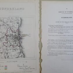
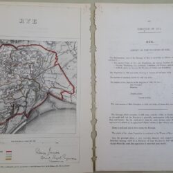
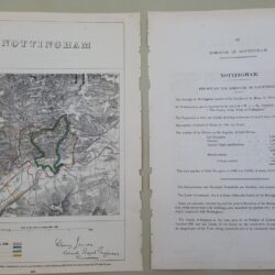
| Signed | |
|---|---|
| Author(s) | Barker, Benjamin & Bourne, Ebenezer |
| Illustrator(s) | illustrated by Benjamin Barker |
| Publisher(s) | Published by Lt.Col. Mudge Tower |
| Published Date | 1st. Aug. 1811 |
| Edition | First Edition thus |
| Signature Information | N/A |
| Size | 26 x 34 inches folding to 6.5 x 5 inches |
| Book Condition | The linen backing is a little worn at some joints with small holes and some minor tears, the individual paper sections of the map are undamaged and in very good condition |
| Jacket Condition | N/A |
| Binding | Marbled paper covers with hand written label |
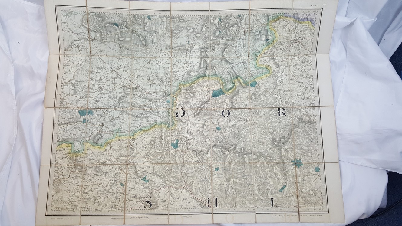
Map of Part of Dorsetshire and Somerset, Sheet number 18
£150.00
26 x 34 inch linen backed colour map 1 inch to the mile scale, in the style of early Ordnance Survey maps, the map is centered on Yeovil
1 in stock