| Signed | |
|---|---|
| Author(s) | Coltman, Nathaniel |
| Illustrator(s) | illustrated by Nathaniel Coltman |
| Publisher(s) | Published by Laurie and Whittle |
| Published Date | 1822 |
| Edition | Third Edition with additions |
| Signature Information | N/A |
| Size | folds to 7 x 4.5 inches |
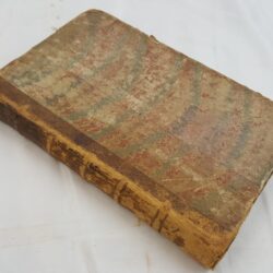
| Book Condition | Linen a little worn at outside edges of folds, some paper sections slightly rubbed at corners of outside edges, slightly yellowed, otherwise map in very good condition |
| Jacket Condition | Card wallet is scuffed at corners and rubbed at all edges, label darkened and missing two chips, worn but serviceable |
| Binding | Wallet has green marbelled paper on card with black title to white label on front |
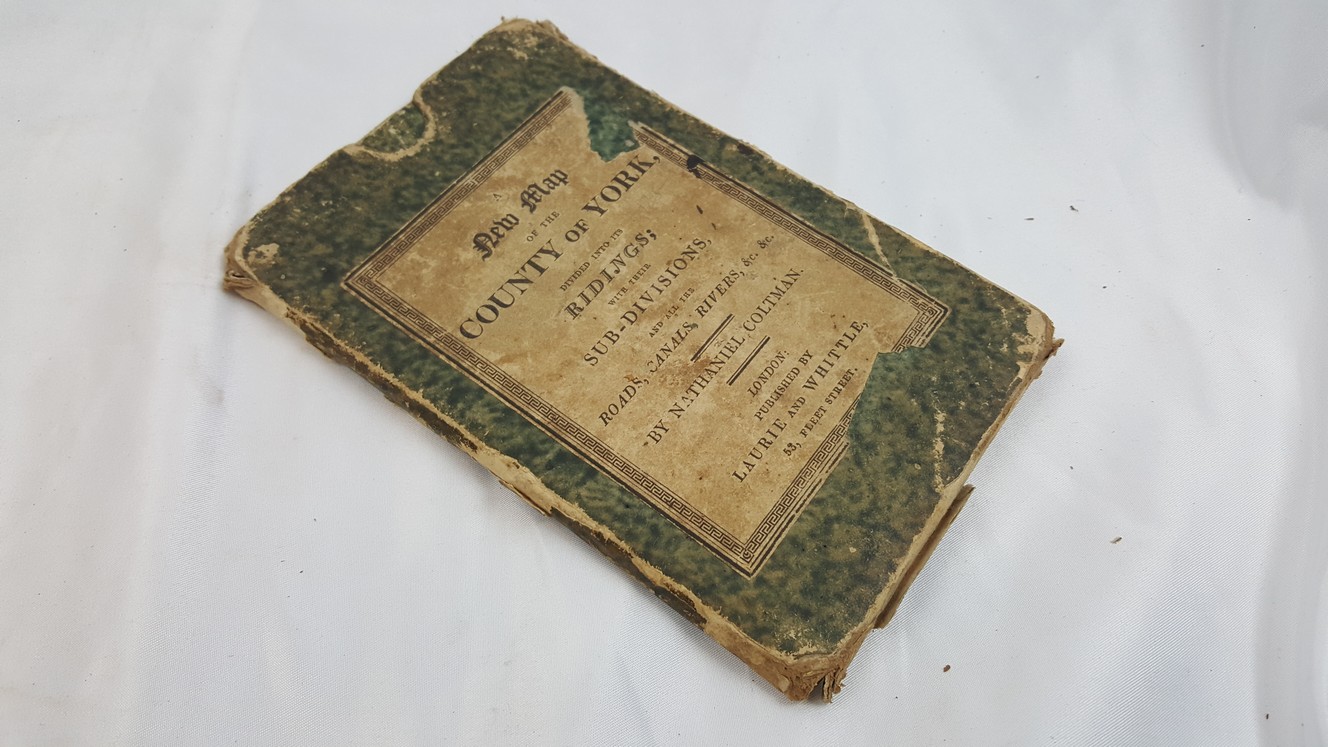

A New Map of the County of York, divided into its Ridings with their Sub-Divisions, and all the Roads, Canals, Rivers &c. &c. Dedicated to Th Rt. Hon. Edward Lascelles Baron Harewood of Harewood
£125.00
21 x 27.5 inch folding, colour map, dissected and mounted on linen, approximately 5 miles to the inch, in a card wallet
1 in stock