| Signed | |
|---|---|
| Author(s) | Johnston, A.K. |
| Illustrator(s) | Engraved by W. & A.K. Johnston |
| Publisher(s) | Published by John Johnstone and W. & A.K. Johnston |
| Published Date | no date given, approximately 1848 |
| Edition | Lithographed Edition |
| Signature Information | N/A |
| Size | 54 x 66.5 cm |
| Book Condition | Central fold with repaired tears at top and bottom, some faint brown spots not on coloured areas, slight yellowing and wear at margins, very good condition |
| Jacket Condition | N/A |
| Binding | N/A |
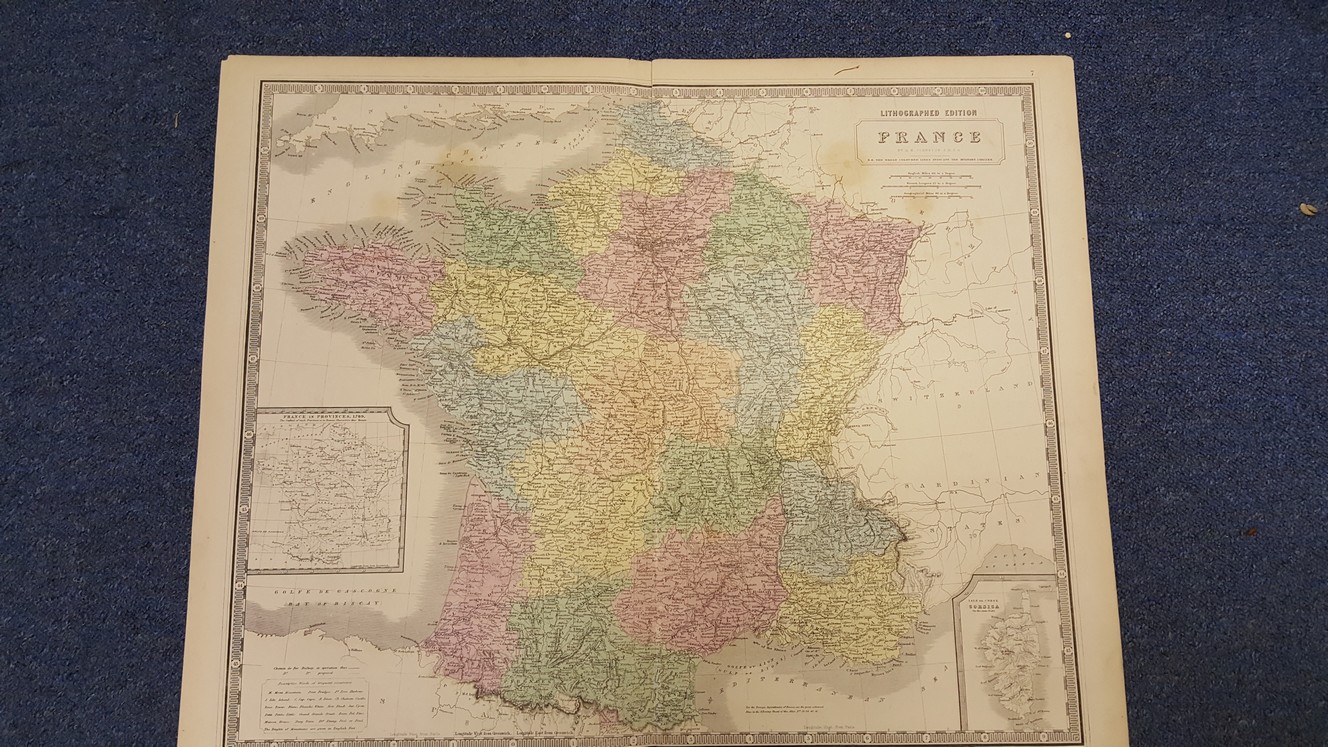
Map of France Lithographed Edition
£20.00
54 x 66.5 cm lithographed colour political map, inset maps of France 1789 and Corsica, engraved area 48.5 x 60, double page plate on guard mount numbered 7,
1 in stock