| Signed | |
|---|---|
| Author(s) | Anon |
| Illustrator(s) | maps engraved by W. Hughes |
| Publisher(s) | Published by Virtue & Co. |
| Published Date | 1868 |
| Edition | First Edition |
| Signature Information | N/A |
| Size | Quarto (over 10 - 12 inches tall) |
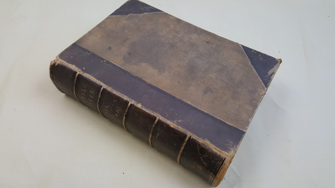
| Book Condition | Externally leather to covers is rubbed and a little worn with scuffing at head and tail of spine and corners, cloth a little marked, front of vol.3 faded by water, vol.3 has some water staining of title pages and some preliminaries, vols.1 & 2 have previous owner's name to first blanks, otherwise internally clean and sound, a solid, useful set with attactive maps and a wealth of information |
| Jacket Condition | N/A |
| Binding | Half brown calf with toned cloth to sides, five raised bands and gilt title to spine, all edges and endpapers marbled |
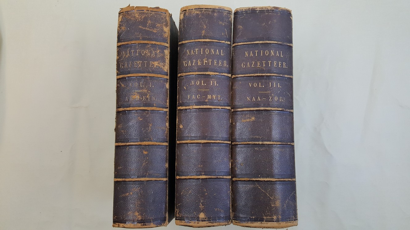
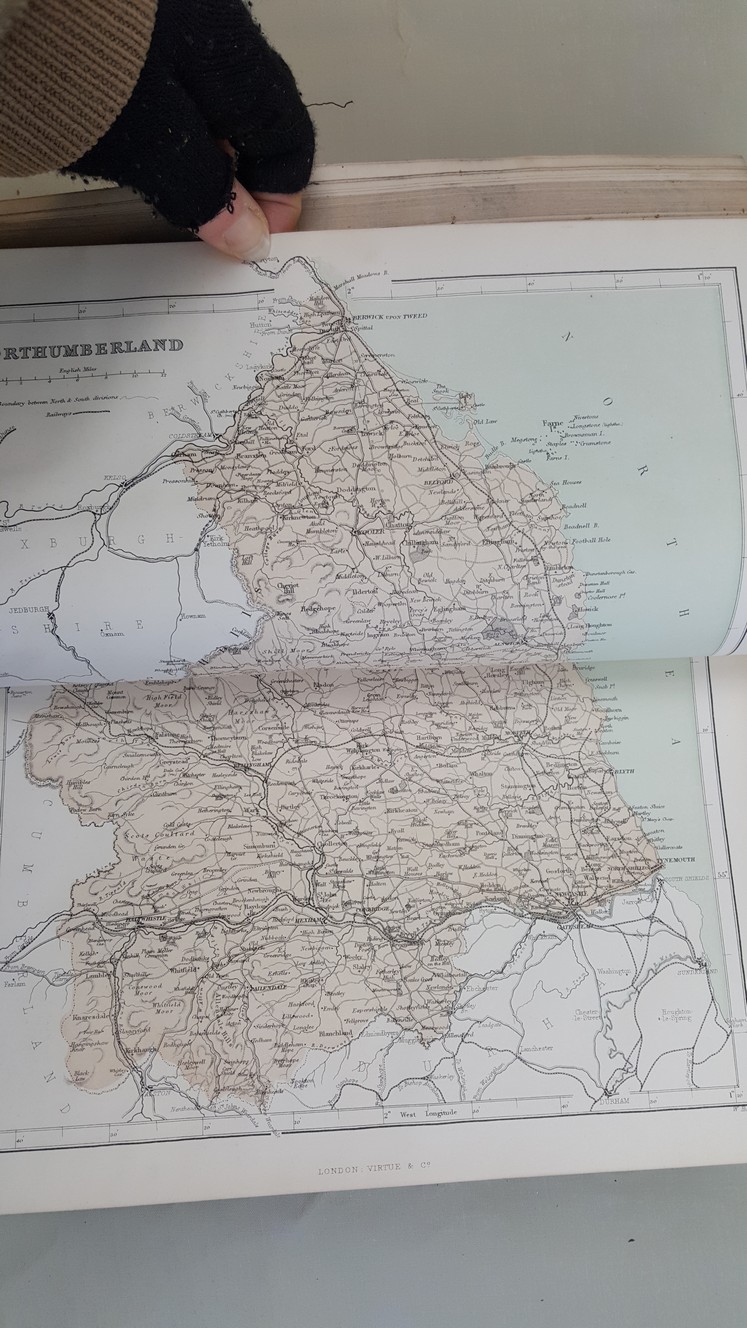
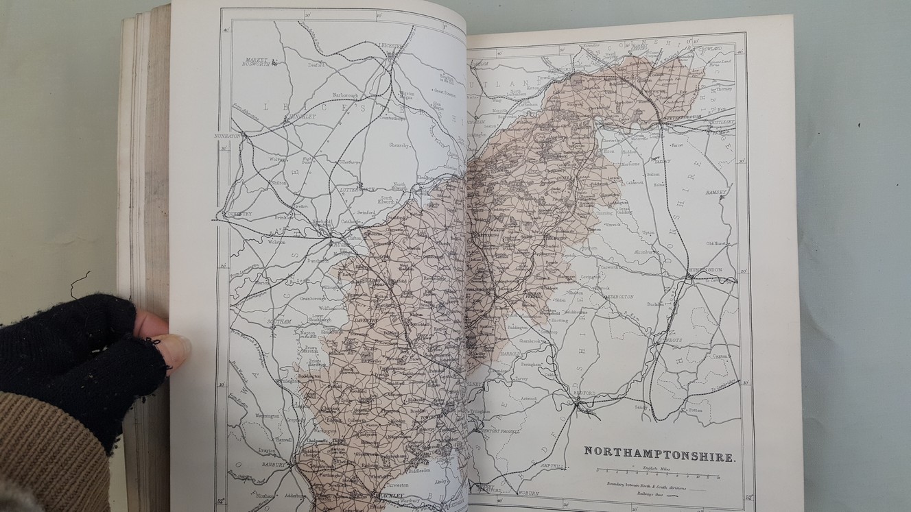
The National Gazetteer – A Topographical Dictionary of the British Islands. Compiled from the Lastest and Best Sources and illustrated with a Complete County Atlas, and numerous maps, in Three Volumes
£150.00
3 substantial volumes each of over 900 pages illustrated with engraved vignette title page and with maps of all the counties of England, Wales, Scotland and Ireland, the maps are double page, guard mounted and coloured, volume 3 has a 131 page abstract of the 1861 census
1 in stock