

| Signed | |
|---|---|
| Author(s) | Philip, George |
| Illustrator(s) | N/A |
| Publisher(s) | Published by George Philip & Son Ltd.. |
| Published Date | no date given, approximately 1868 |
| Edition | New And Revised Edition - A Special Edition Shewing the New Parlliamentary Divisions |
| Signature Information | N/A |
| Size | Folio (over 12 - 15 inches tall) |
| Book Condition | Corners scuffed, cloth faded and stained, lifting at edge on front cover, edges to spine rubbed, a few map pages show faint marks at margins, Channel Isles have one inch tears at inner margins and some ink marks at margins, otherwise the maps are in fine condition within a somewhat shabby but solid binding |
| Jacket Condition | N/A |
| Binding | Half red leather with red cloth to sides, gilt title and Britannia to front, five raised bands with gilt title and rulings to spine, all edges gilt |
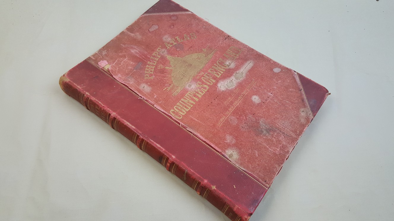
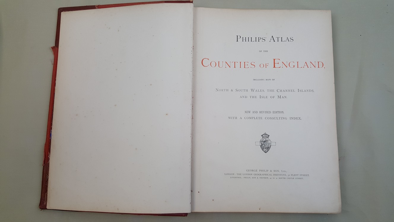
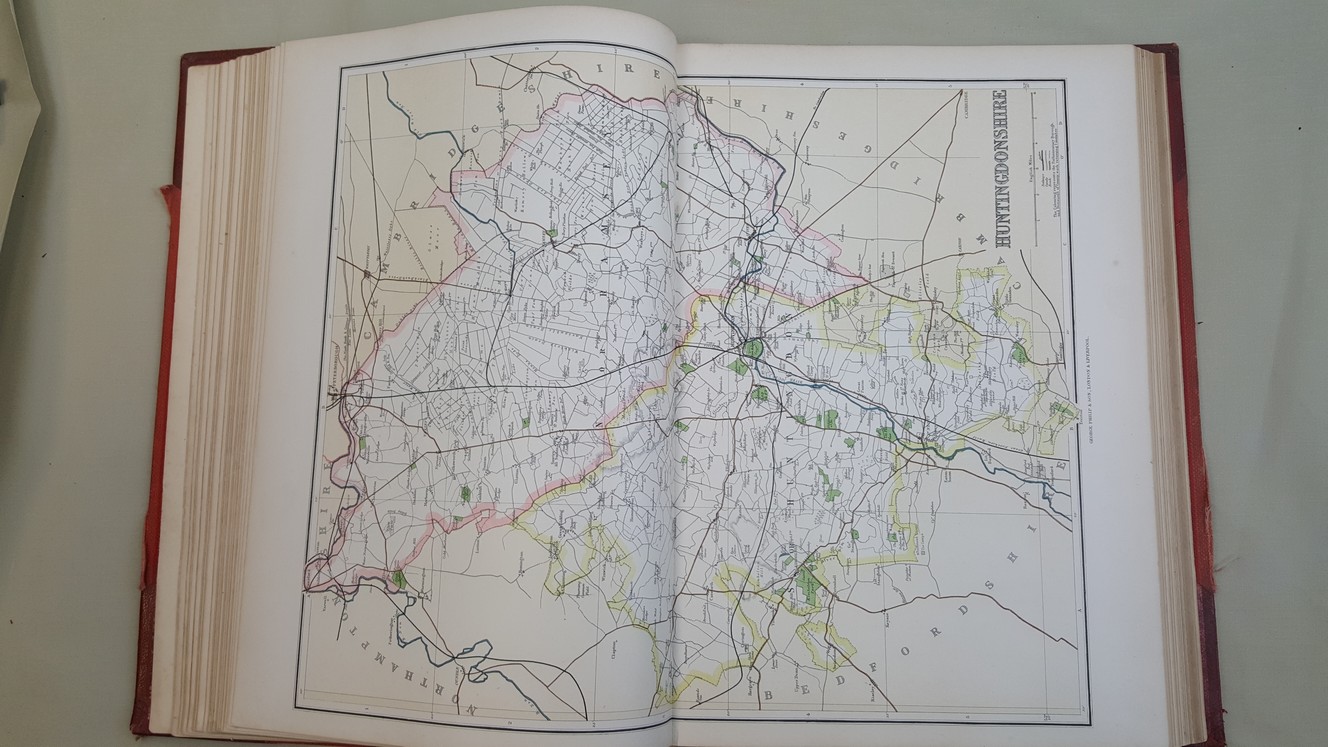
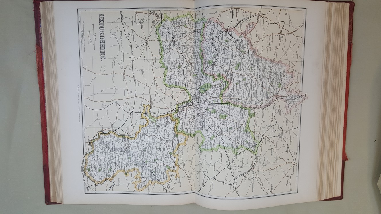
Philips’ Atlas of the Counties of England, including Maps of North & South Wales, The Channel Islands and the Isle of Man
49 double page guard mounted lithographed colour maps ( 49 x 37.5 cm ) including a map of the whole of England and Wales, 106 pages of indices


