| Signed | |
|---|---|
| Author(s) | Bartholomew, J. |
| Illustrator(s) | N/A |
| Publisher(s) | Published by Catherall & Prichard |
| Published Date | no date given, approximately 1860 |
| Edition | First Edition thus |
| Signature Information | N/A |
| Size | opens to 40 x 20 cm |
| Book Condition | Covers a little rubbed with faint stains, map has 4 small tears at junctions of folds but remains bright, good condition |
| Jacket Condition | N/A |
| Binding | Red cloth with blind stamped borders and gilt title to front |
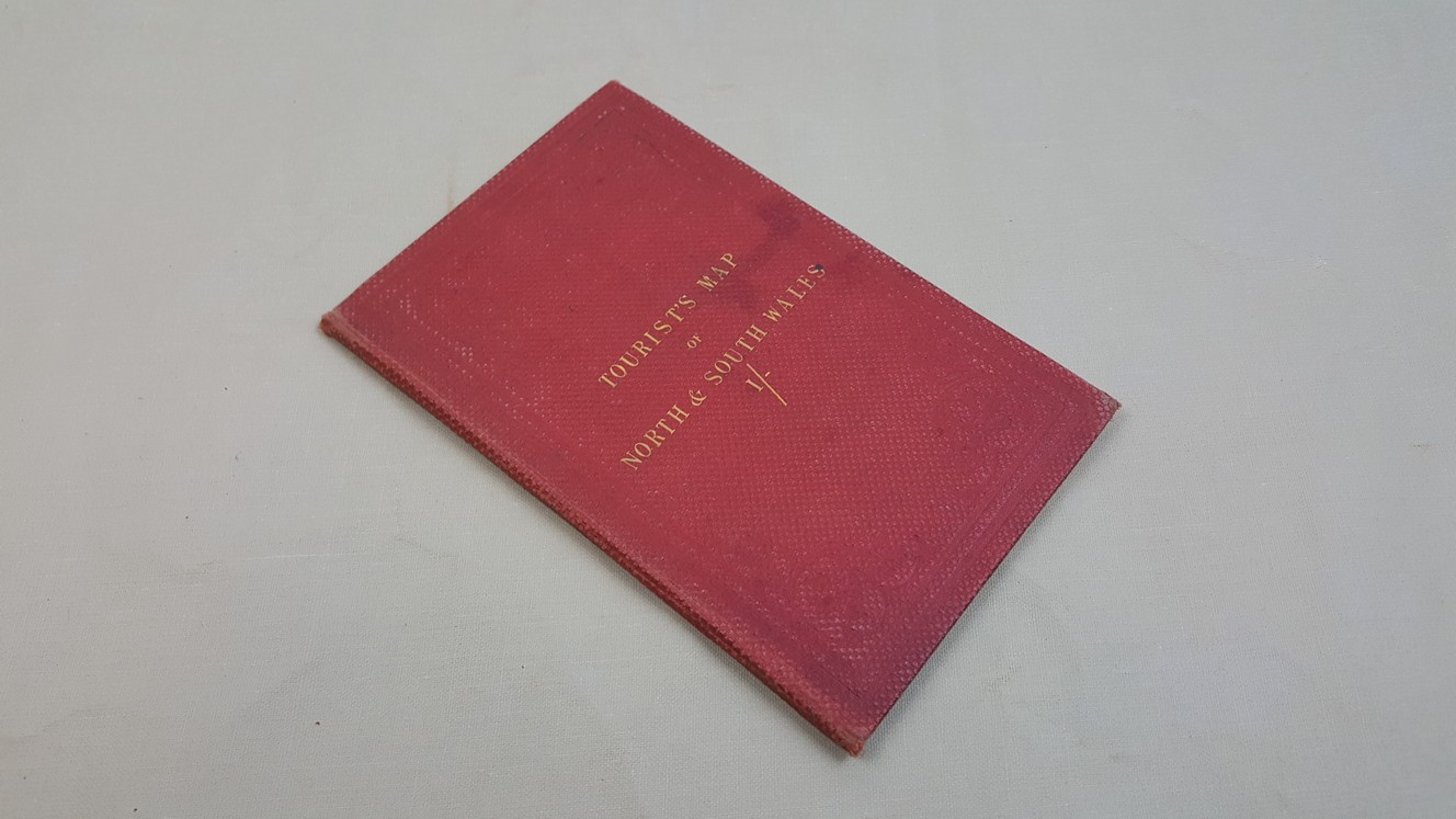

Tourist Map of North & South Wales with adjoining portion of England from the Ordnance Survey
£22.00
40 x 42 cm engraved colour folding map, in cloth cover with distance table to front paste down
1 in stock