

| Signed | |
|---|---|
| Author(s) | Cassell, Petter & Galpin |
| Illustrator(s) | N/A |
| Publisher(s) | Published by Cassell, Petter & Galpin |
| Published Date | [1865-1867] |
| Edition | Early edition |
| Signature Information | N/A |
| Size | Quarto |
| Book Condition | Maps detached from binding, boards rubbed and scratched, spine ends scuffed and torn, many of the maps have German newspaper articles stuck down on the rear sides, ink notes on rear of one, light patches of foxing to some maps, others clean and complete, overall in good condition |
| Jacket Condition | N/A |
| Binding | Half green cloth with marbled paper to boards |
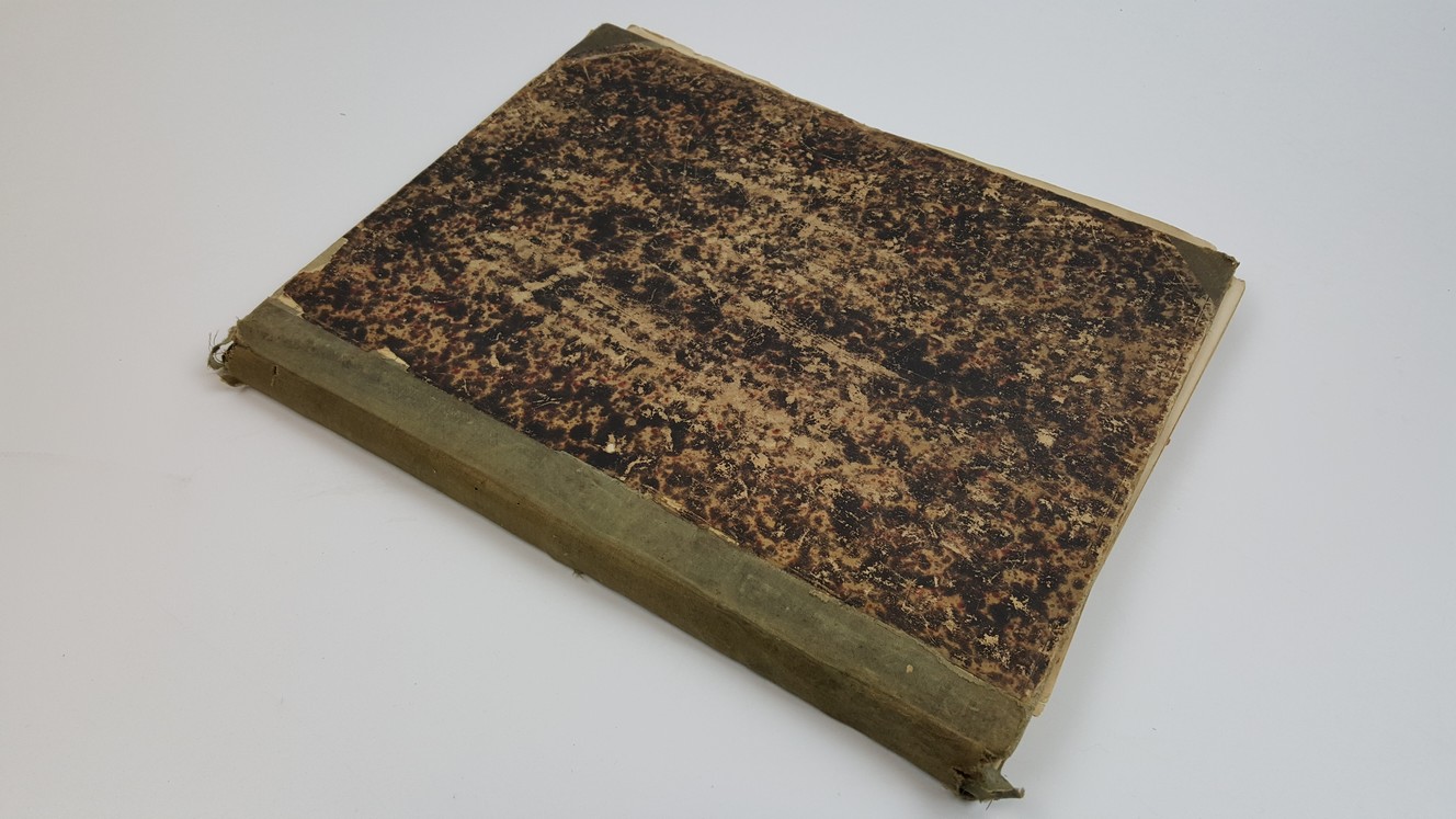
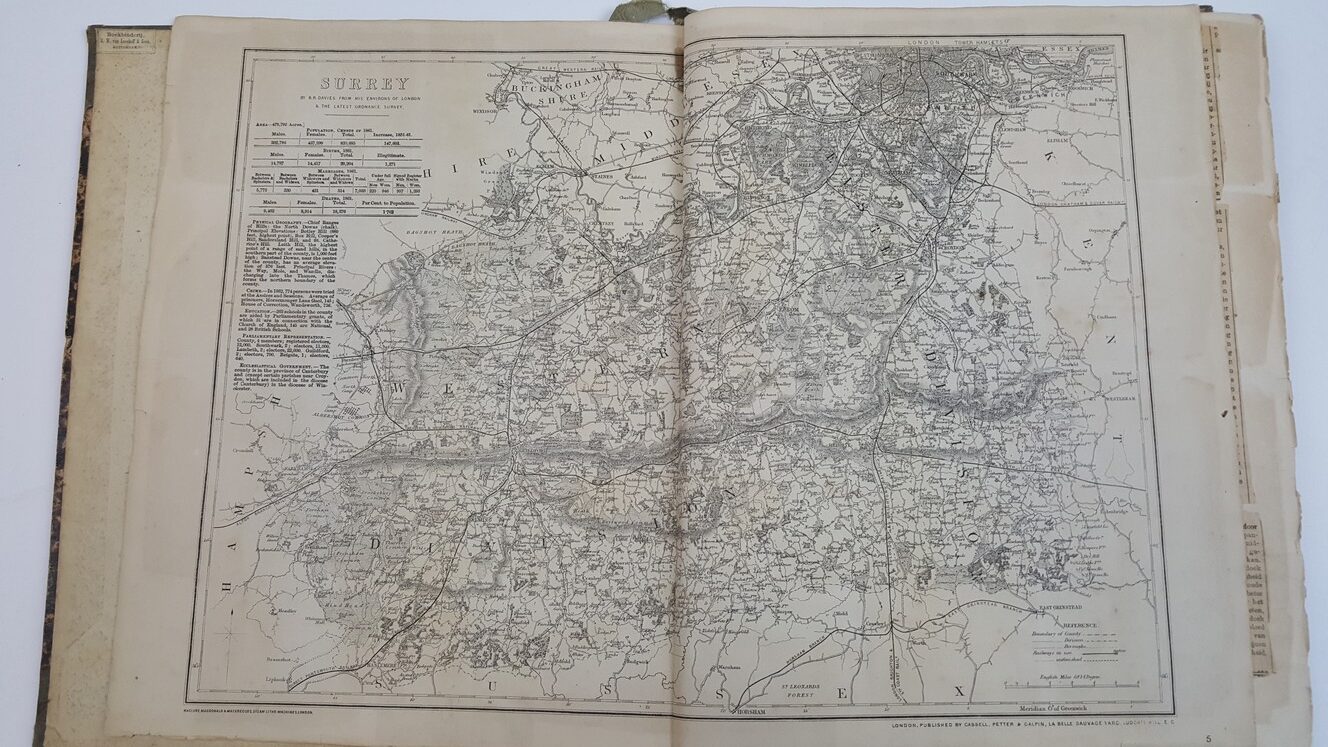
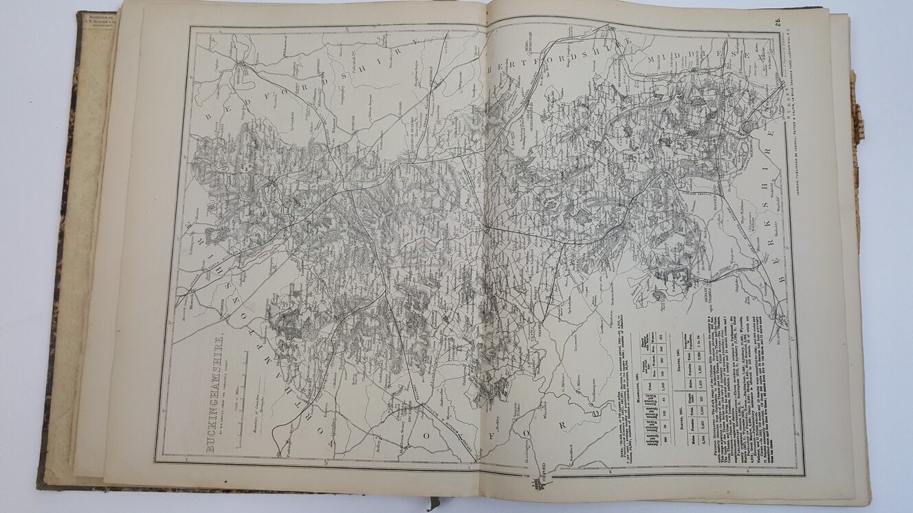
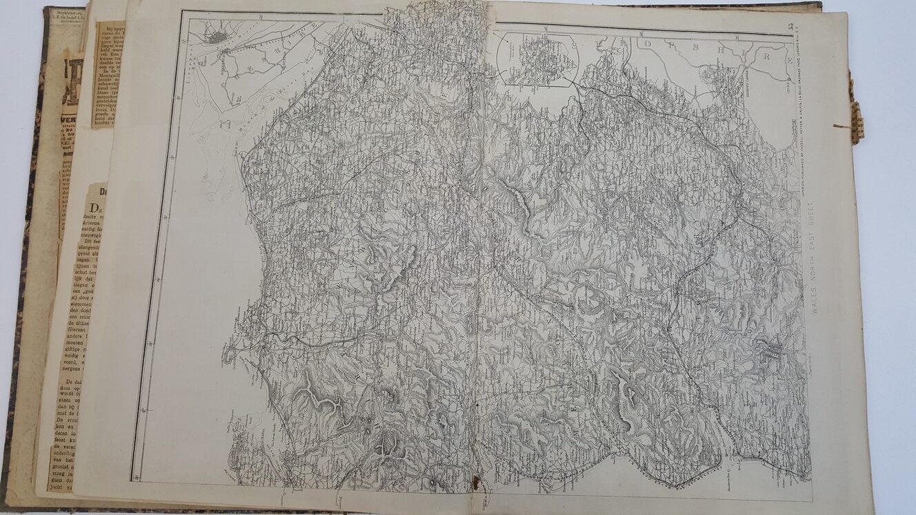
[Cassell’s British Atlas (1865-1867)]
£120.00
51 maps of 80, includes Surrey, Middlesex, Kent, Essex, Lancs, Yorks [4 parts], Staffs, Notts, Derbyshire, Leicester & Rutlandshire, Northants [2 parts], Lincs, Warwickshire, Norfolk, Suffolk, Bedfordshire, Bucks, Berks, Oxfordshire, Huntingdon, Herefordshire, Monmouth, Shropshire [2 parts], Cheshire, Northumberland, Durham, Cumberland & Westmorland [2 parts], Wales [4 parts], Isle of Man, Orkney and Shetland Isles, Scotland [6 parts including plans of Edinbirgh & Glasgow], Ireland [6 parts]
1 in stock


