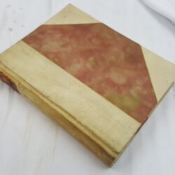
| Signed | |
|---|---|
| Author(s) | Gibson, John |
| Illustrator(s) | N/A |
| Publisher(s) | Printed for T. Kitchen; J. Bowles & Son; Blackwell and Parker; T. Bowles, I Ryall & R. Sayer |
| Published Date | [1762] |
| Edition | New edition |
| Signature Information | N/A |
| Size | 19 x 13 cm |
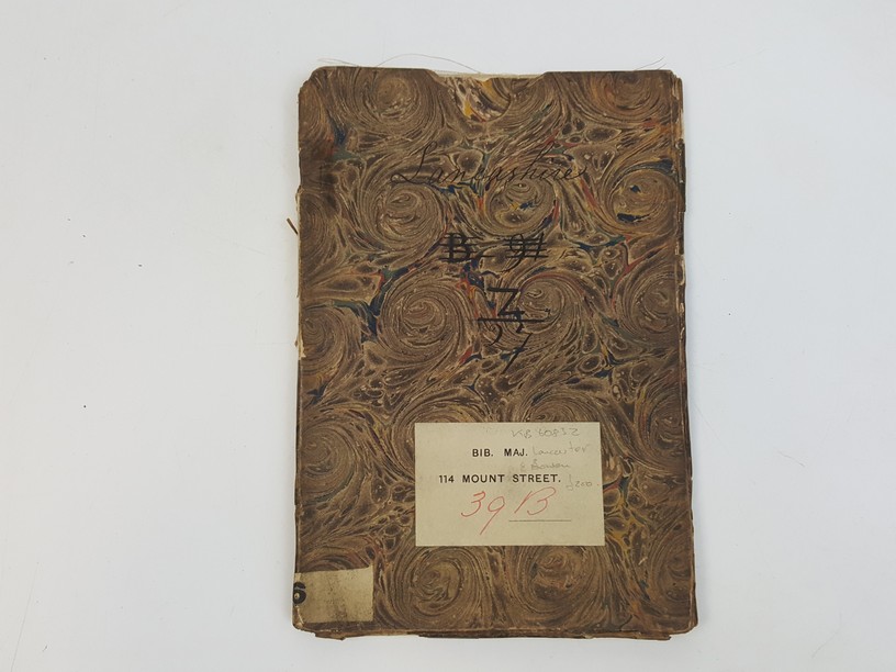
| Book Condition | Few small closed tears to folds but no loss, few faint stains at edge otherwise map clean and complete, map in good++ condition, case has previous owner's label on front, slightly worn at edges, case in good condition |
| Jacket Condition | N/A |
| Binding | In marbled paper covered case |
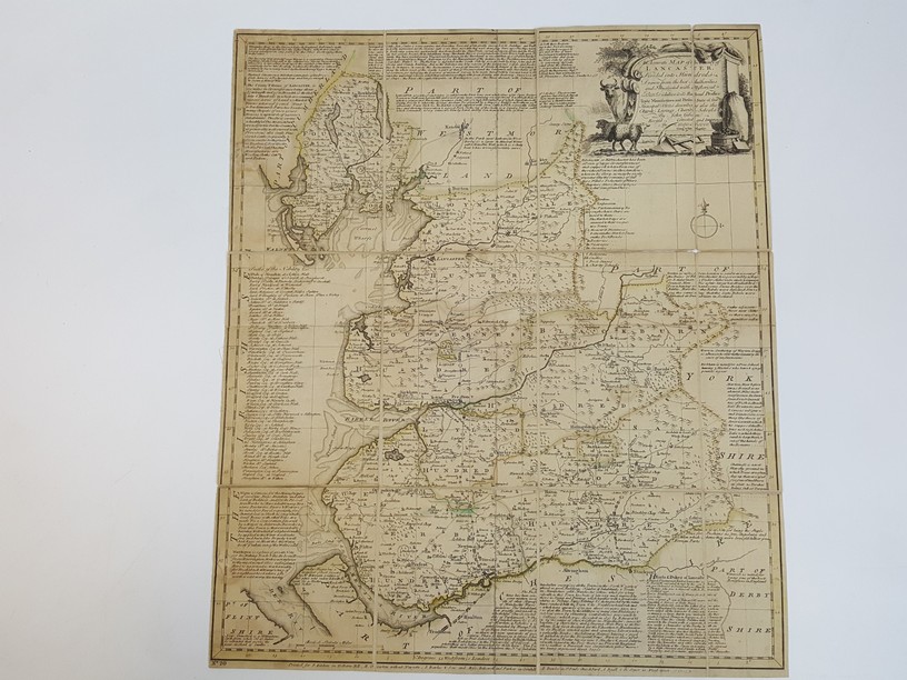
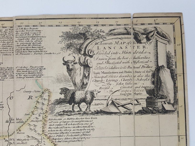
An Accurate Map of the County of Lancaster, Divided into Hundreds, Drawn from the Best Authorities and illustrated with Historical Extracts Relative to its Natural Produce… Revised, corrected and improved by Eman. Bowen, [from ‘The Large English Atlas’ by Emanuel Bowen]
£200.00
Folding linen-backed map, measuring 51 x 43.5 cm, vignette outline has been hand coloured in outline, scale of approx 0.5 cm to 1 British statue miles, originally from ‘The Large English Atlas’ by Emanuel Bowen [1762], this being No. 20
1 in stock