

| Signed | |
|---|---|
| Author(s) | Ordnance Survey |
| Illustrator(s) | N/A |
| Publisher(s) | Published by Mudge |
| Published Date | 1817 |
| Edition | N/A |
| Signature Information | N/A |
| Size | 26 x 17 cm |
| Book Condition | Patches of light brown staining to map, no tears, map in very good condition |
| Jacket Condition | With slip case in just good condition |
| Binding | Folding cloth backed map |
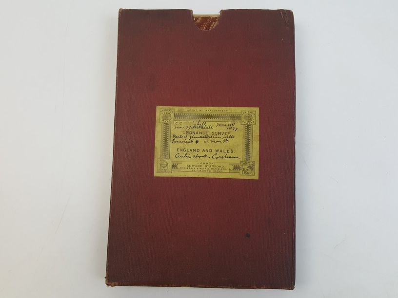
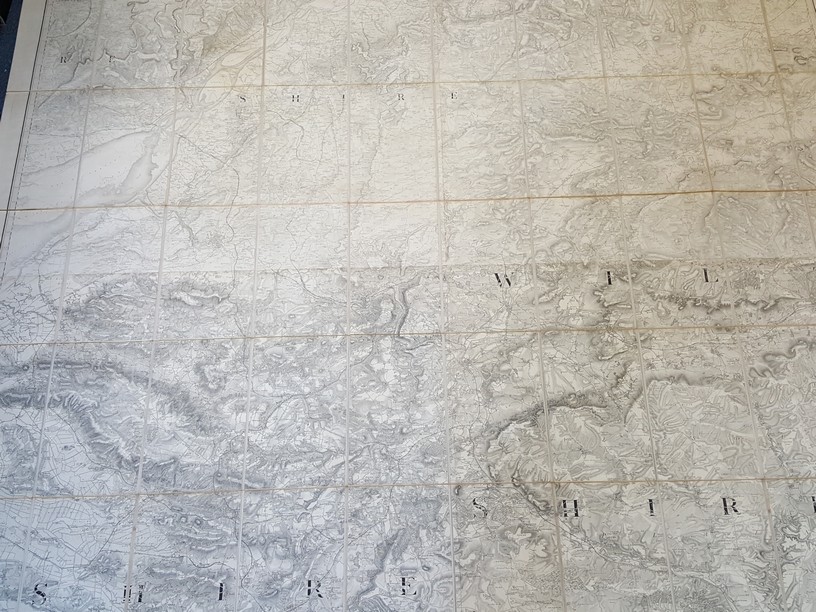
Ordnance Survey of England and Wales, Sheet No. 34 [Wiltshire, Wales, Gloucestershire etc]
£150.00
Large folding map measuring 125 x 162 cm, scale of 1 inch to 1 statue mile, engraved at the drawing room in the tower under the direction of Col Mudge by Benj. Baker & Assistants – the writing by Eben Bourne, originally published 11th Aug 1817 by Col Mudge, Tower. This version printed from an electrotype taken in 1875
1 in stock


