

| Signed | |
|---|---|
| Author(s) | Pigot & Co |
| Illustrator(s) | N/A |
| Publisher(s) | Published by Pigot & Co |
| Published Date | [1841] |
| Edition | First Edition |
| Signature Information | N/A |
| Size | 21 x 14 cm |
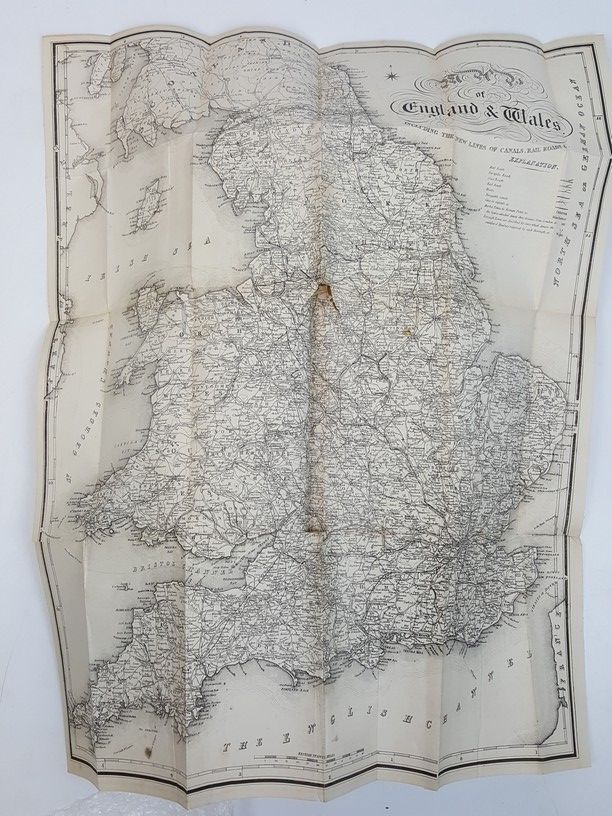
| Book Condition | Cracked at upper half of front joint thus front cover loosely held, few surface scuffs to leather at spine, gilt mostly nice and clean, neat owner's name on front blank, the large folding map has afew small tears at folds but no loss, occasional light patches of foxing to pages and plates, maps generally nice and clean, book in good condition |
| Jacket Condition | N/A |
| Binding | Half plum calf with cloth sides, gilt titles and decoration on spine, raised bands, marbled edges and endpapers |
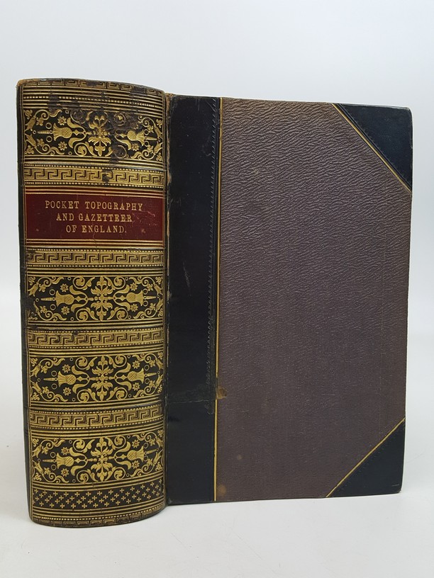
A Pocket Topography and Gazetteer of England: with Historical and Statistical Descriptions, and Distance, Parochial, Population, & Other Tables… In Two Volumes [2 volumes in 1]
£600.00
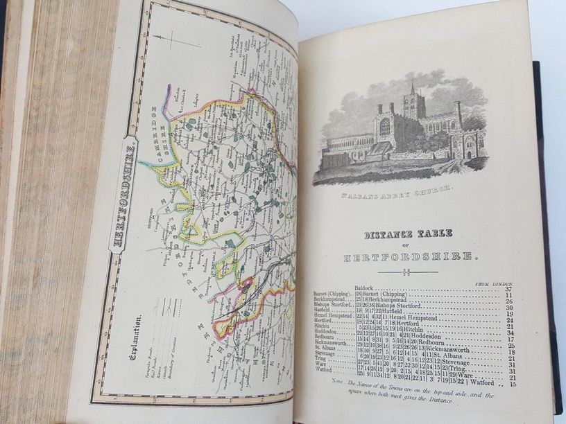
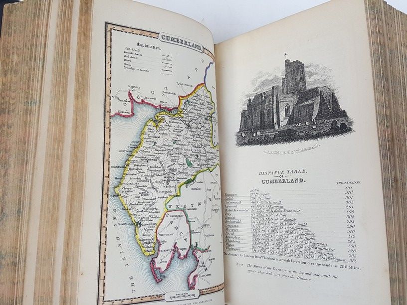
2 volumes in 1, xii, 502, & ,x, 484 pages, complete with 39 county maps hand-coloured in outline (Yorkshire map is folding), 39 engraved vignette plates, and folding general map, Cornwall is not listed at front but has map, plate & text, Lincolnshire & Rutlandshire are together on one map & plate
1 in stock


