| Signed | |
|---|---|
| Author(s) | Ordnance Survey |
| Illustrator(s) | N/A |
| Publisher(s) | N/A |
| Published Date | no date given, c1838-1866 |
| Edition | Original Edition |
| Signature Information | N/A |
| Size | 15 x 11 cms |
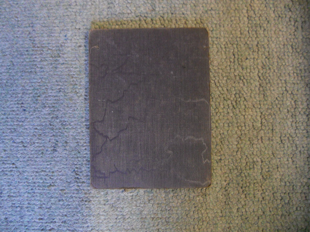
| Book Condition | Slight rubbing to covers and fraying to edges, very good condition |
| Jacket Condition | N/A |
| Binding | Purple cloth, cream linen backing, black titles |
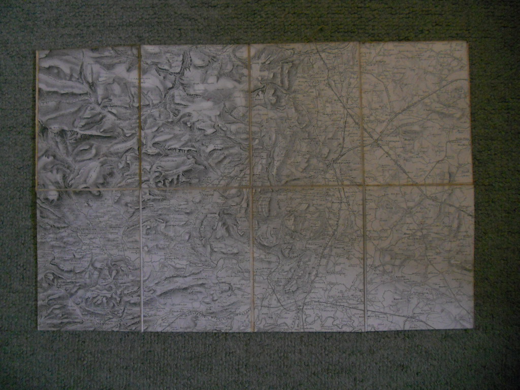
Map of Merionethshire and Caernarvonshire
£45.00
Linen-backed sectioned map 29.5 x 45 cms (including Oswestry, Llanrhaladr yn Mochnant), part of a larger published set (including railways, canals, Offa’s Dyke)
1 in stock