| Signed | |
|---|---|
| Author(s) | Wallis |
| Illustrator(s) | Engraved by J Wallis |
| Publisher(s) | Published by J Wallis Engraver |
| Published Date | 1810 |
| Edition | First Edition |
| Signature Information | N/A |
| Size | 16mo, 14 x 10.5 cms |
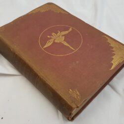
| Book Condition | Rubbing and wear to covers, bumped corners and chipped edges, title page appears to be missing, split to hinges but holding, good condition |
| Jacket Condition | N/A |
| Binding | Half bound marbled boards and red morocco, morocco label to upper board with gilt rules and titles, gilt rules to covers, raised bands to spine, |

Wallis’s Travellers Companion
£350.00
[1], 43 colour engraved plates (including one double page and a General Map of England and Wales), each map edged by a double border (including Longitude, compass point, scale of miles from 5 to 10, County and market towns, mail coach and turnpike roads, distance from London, number of Members of Parliament), most interesting pocket guide
1 in stock