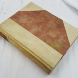
| Signed | |
|---|---|
| Author(s) | Cary, John |
| Illustrator(s) | N/A |
| Publisher(s) | Printed for J. Cary |
| Published Date | 1810 |
| Edition | Fourth Edition |
| Signature Information | N/A |
| Size | small quarto, 19 x 12.5 cm |
| Book Condition | Spine, corners and edges rubbed, foxing within and to maps, inscription to title page, binding firm, good condition |
| Jacket Condition | N/A |
| Binding | Half green morocco with brown and blue marble paper over hard covers, contains a gilt title and bands on the spine |
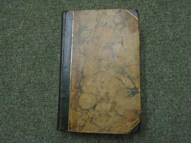
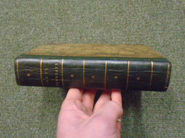
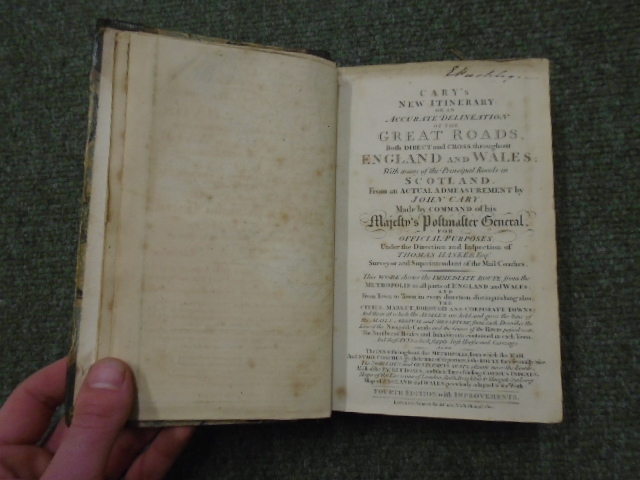
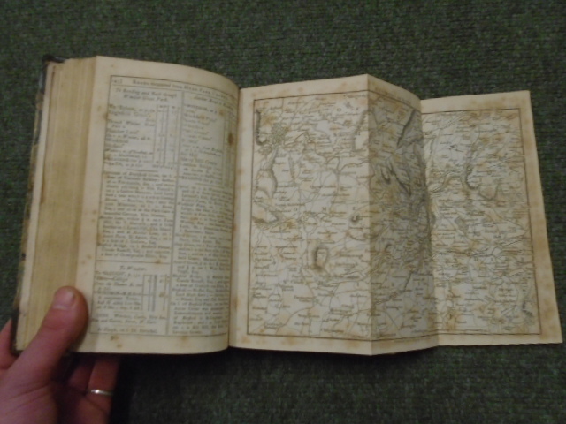
Cary’s New Itinerary: Or an Accurate Delineation of the Great Roads, both Direct and Cross throughout England and Wales; With many of the Principal Roads in Scotland. From an Actual Admeasurement by John Cary: Made by Command of his Majesty’s Postmaster General, for Official Purposes; Under the Direction and Inspection of Thomas Hasker Esq. Surveyor and Superintendant of the Mail Coaches.
£150.00
1-936 pages, contains 5 black and white folding maps, volume provides a description of the roads of England and Wales (and some Scottish Roads) in 1810, also contains two adverts stuck on endpapers from the White Hart Inn in Retford and the Swan at York coaching company
1 in stock