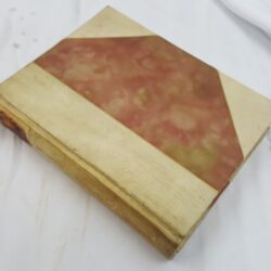
| Signed | |
|---|---|
| Author(s) | Beveridge & Co |
| Illustrator(s) | N/A |
| Publisher(s) | Published by Philip Tuckett and Co |
| Published Date | 1878 |
| Edition | First Edition |
| Signature Information | N/A |
| Size | 76 x 87 cm (open), 19 x 14 cm (folded) |
| Book Condition | Annotated with additional information, foxed, rubbed at edges of segments, small holes at folds, fair condition |
| Jacket Condition | N/A |
| Binding | N/A |
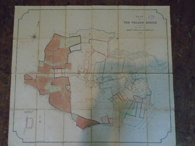
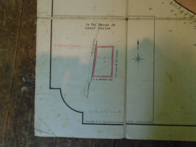
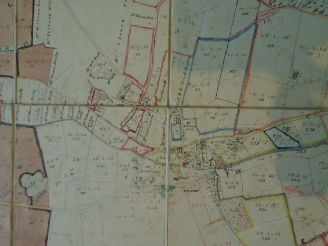
Plan of the Weldon Estate, Northamptonshire
£150.00
Folding paper map of Weldon Estate, on the outskirts of Corby, marking field boundaries and owner’s of neighbouring land, hand coloured, previously used as a wrking map and annotated with residents’ names, ironstone bore holes and dates 1911, Weldon glebe (Parish land), dates of land drainage etc
1 in stock