

| Signed | |
|---|---|
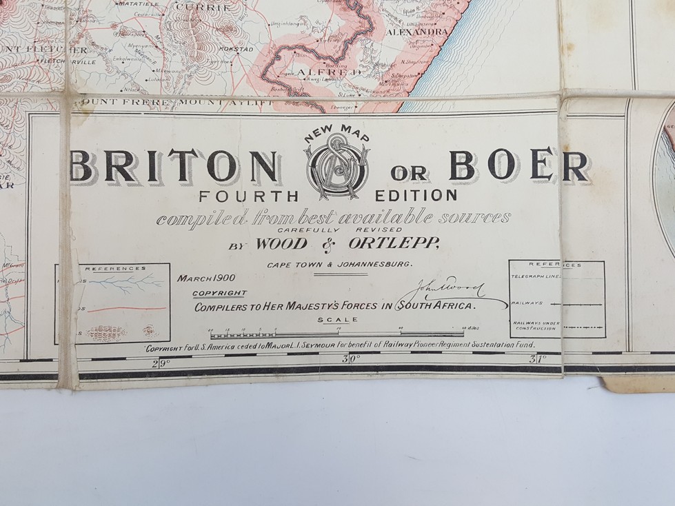
| Author(s) | Wood, John |
| Illustrator(s) | N/A |
| Publisher(s) | Published by Wood and Ortlepp |
| Published Date | 1900 |
| Edition | Fourth edition |
| Signature Information | N/A |
| Size | 20 x 13 cm (folded) 59 x 98 cm (open) |
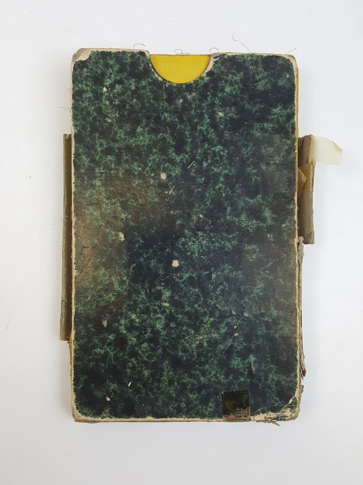
| Book Condition | Spine split, corners of covers rubbed, light foxing to map, pencil annotations and some damp marks to linen backing, good condition |
| Jacket Condition | Slipcase split and rubbed, non matching |
| Binding | Linen backed map folding into yellow cloth covers with black titles |
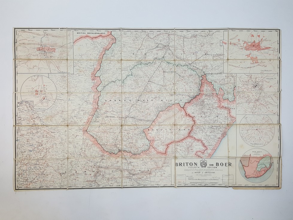

“Briton or Boer” Special Map of the Boer Republic
£500.00
Coloured linen backed segmented map, showing Orange Free State, Natal, Cape Colony, Transvaal and Basutoland during the Boer War. Johannesburg, Kimberley, Pretoria, Ladysmith and Dundee insets. Scale of 20 miles to an inch
1 in stock


