

| Signed | |
|---|---|
| Author(s) | Saxto[n], Christophorus |
| Illustrator(s) | Engraved by Gulielmus Hole |
| Publisher(s) | Printed by F. K. R. Y. and I. L. for Joyce Norton and Richard Whitaker |
| Published Date | no date given, c1637 |
| Edition | Original Edition |
| Signature Information | |
| Size | 33 x 39 cms |
| Book Condition | Slight foxing, white tape stuck to reverse upper edge, join mark visible to reverse, some crease marks, very good condition |
| Jacket Condition | N/A |
| Binding | Paper |
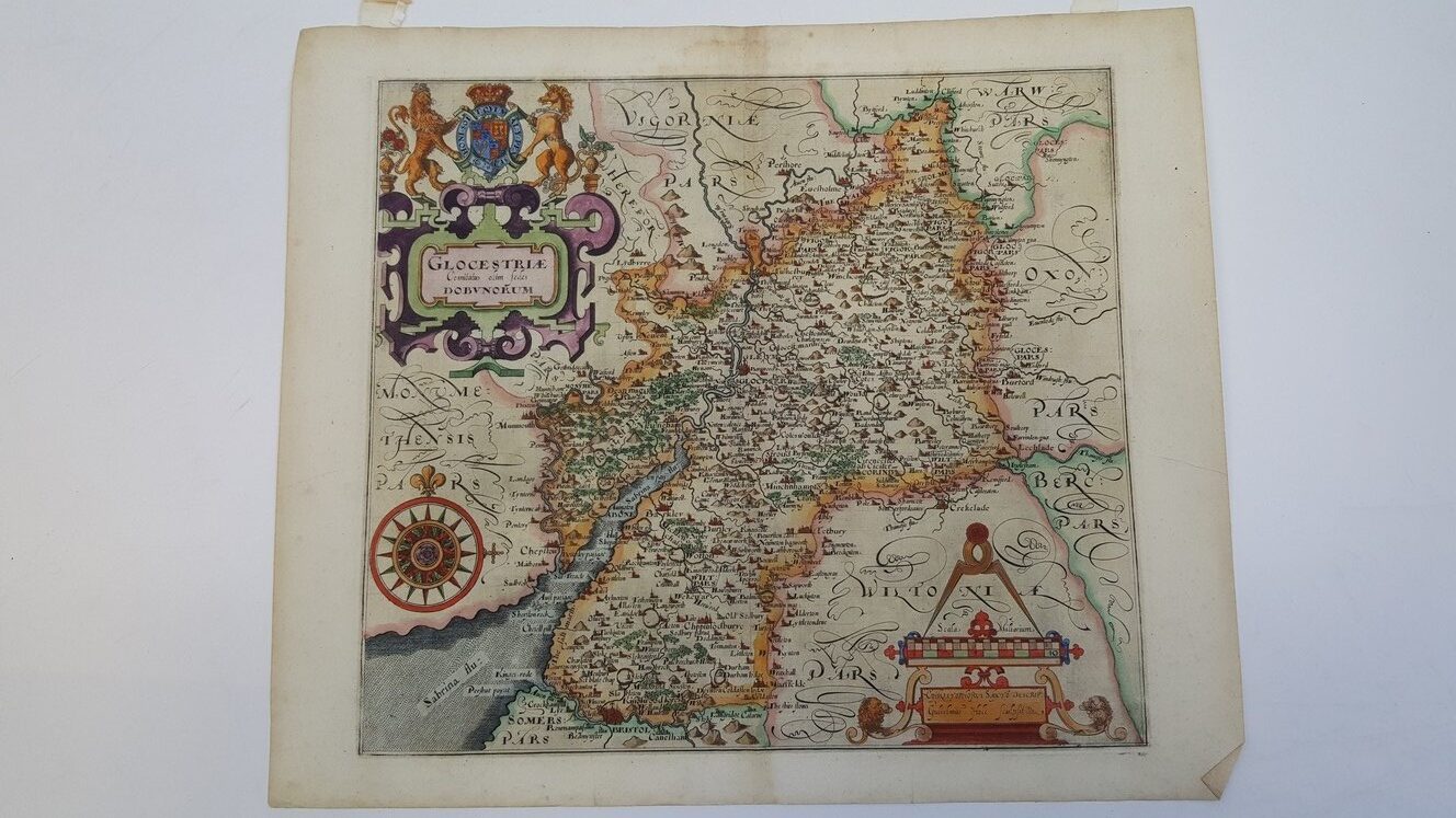
Map of Glocestriae Dobvnorum [Gloucestershire Dubunorum] from Camden’s Britannia (1637)
£250.00
Highly hand-coloured engraved County map surrounded by a ruled border and with Charles I’s coat of arms to the upper left corner (incorporating red roses and thistles), marked with ornate points of the compass, ‘Scala Miliarium’ from 1 to 10 (with illustration of a pair of dividers), market towns hills and religious buildings, watermarked paper (crown atop bunch of grapes), originally 2 leaves, an early example of Saxton’s work from Camden’s Britannia (1637)
1 in stock


