| Signed | |
|---|---|
| Author(s) | Morden, Robt [Robert] |
| Illustrator(s) | Engraved by Robt Morden |
| Publisher(s) | Sold by Abel Swale, Awnf[s]ham & I[J]ohn Churchill |
| Published Date | no date given, c1695 |
| Edition | Original Edition |
| Signature Information | |
| Size | 36 x 42.5 cms |
| Book Condition | Very slight marking, white tape stuck to reverse upper edge, some crease marks and tears to upper edge, good condition |
| Jacket Condition | N/A |
| Binding | Paper |
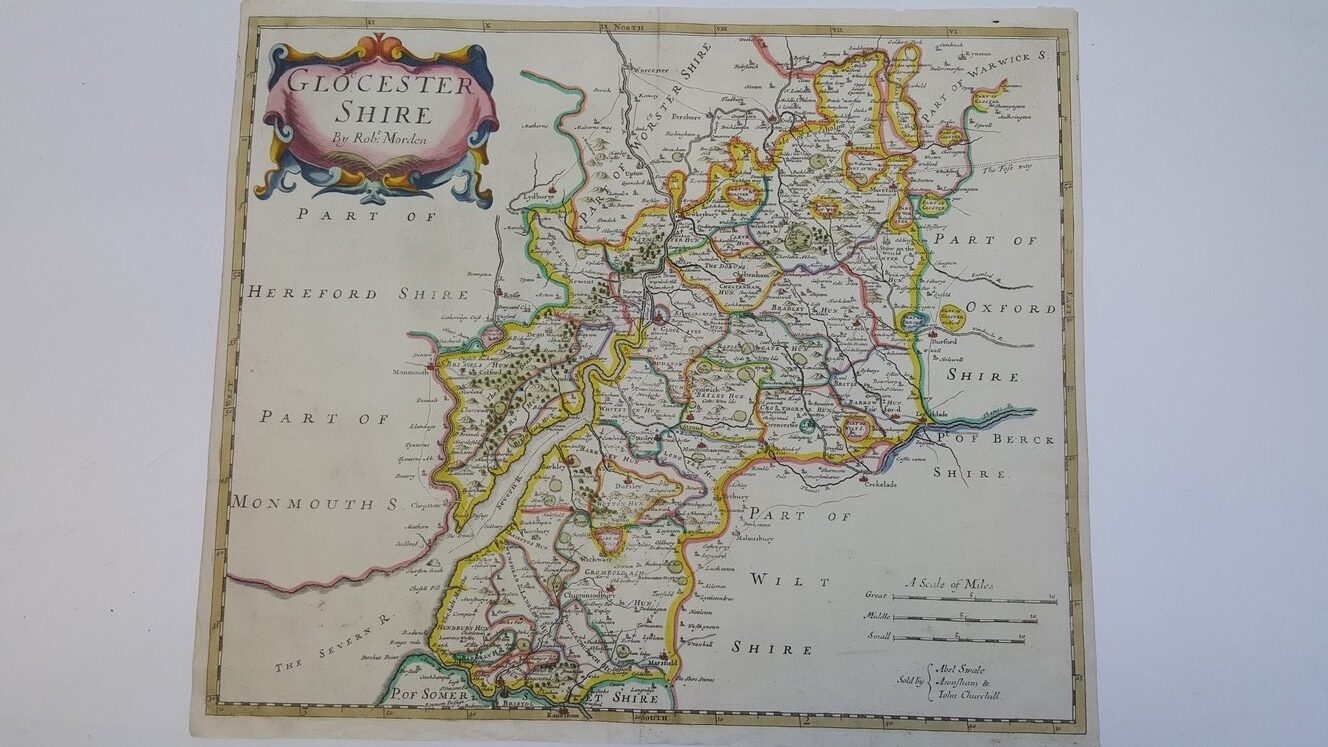
Map of Glocester Shire [Gloucestershire] from Camden’s Britannia c1695
£200.00
Highly hand-coloured engraved County map surrounded by a beige ruled border with compass points marked by name within it, marked ‘A Scale of Miles’ to 10 (Great, Middle and Small), main routes, market towns, religious buildings, from Camden’s Britannia c1695
1 in stock