| Signed | |
|---|---|
| Author(s) | Ferrier |
| Illustrator(s) | N/A |
| Publisher(s) | Published by Col. Stotherd for the Ordnance Survey |
| Published Date | 1883 |
| Edition | First Edition |
| Signature Information | N/A |
| Size | 70 cm x 102 cm |
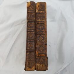
| Book Condition | A few tears at edges, good condition |
| Jacket Condition | N/A |
| Binding | #VALUE! |

Ordnance Survey Six Inch to a Mile Map of South of Oxford, Oxfordshire Sheet XLV
£45.00
Black and white six inch to a mile map of the area south of Oxford including Bagley Wood and St. Aldate
1 in stock