

| Signed | |
|---|---|
| Author(s) | McCulloch Esq., J. R. |
| Illustrator(s) | N/A |
| Publisher(s) | Published by Longman, Orme, Brown, Green, and Longmans |
| Published Date | 1839 |
| Edition | New Edition |
| Signature Information | N/A |
| Size | octavo, 22 cm x 14 cm |
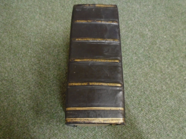
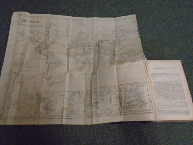
| Book Condition | Covers are worn marked and rubbed, corners bumped, gilt faded in places, front hinge repair, splitting on the back hinge, two of the maps are showing a lot of wear and are mis-folded, the block edges are lightly sunned, pencil inscription on the front free-end, small chip on the first blank, a lovely tome in good condition |
| Jacket Condition | N/A |
| Binding | Half bound in black calf and blue cloth, gilt titles to the front board, four raised and gilt rolled bands with blind stamped titles to the spine, marbled block edges |
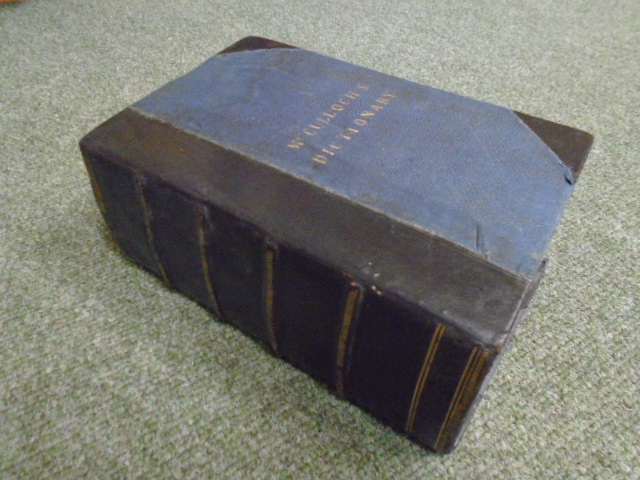
A Dictionary, Practical, Theoretical, and Historical, of Commerce and Commercial Navigation: illustrated with Maps and Plans
£150.00
Xvi, 1-1269, 1-136 pages, fold-out map of the World on Mercator’s Projection, fold-out map of Central and Southern Europe with the Mediterranean Sea, Supplement, plus 5 more fold-out maps, further maps and tables in text throughout
1 in stock


