| Signed | |
|---|---|
| Author(s) | Capper, Benjamin Pitts |
| Illustrator(s) | N/A |
| Publisher(s) | Published by Richard Phillips |
| Published Date | 1808 |
| Edition | First Edition |
| Signature Information | N/A |
| Size | Octavo |
| Book Condition | Edges of boards and spine rubbed, few light scuffs to boards, spine slightly dulled and darkened in places, splits at upper and lower joints with front board a little loose, pages and plates clean, in good+ condition |
| Jacket Condition | N/A |
| Binding | Full tan calf with gilt ruling and blindstamped floral borders, gilt titles on red leather spine panel, gilt decorated compartments, 5 raised bands, marbled edges |
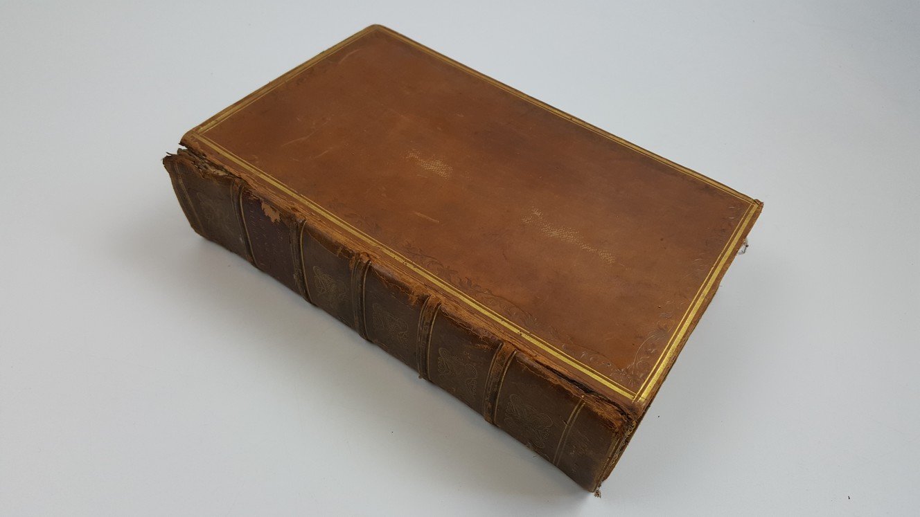
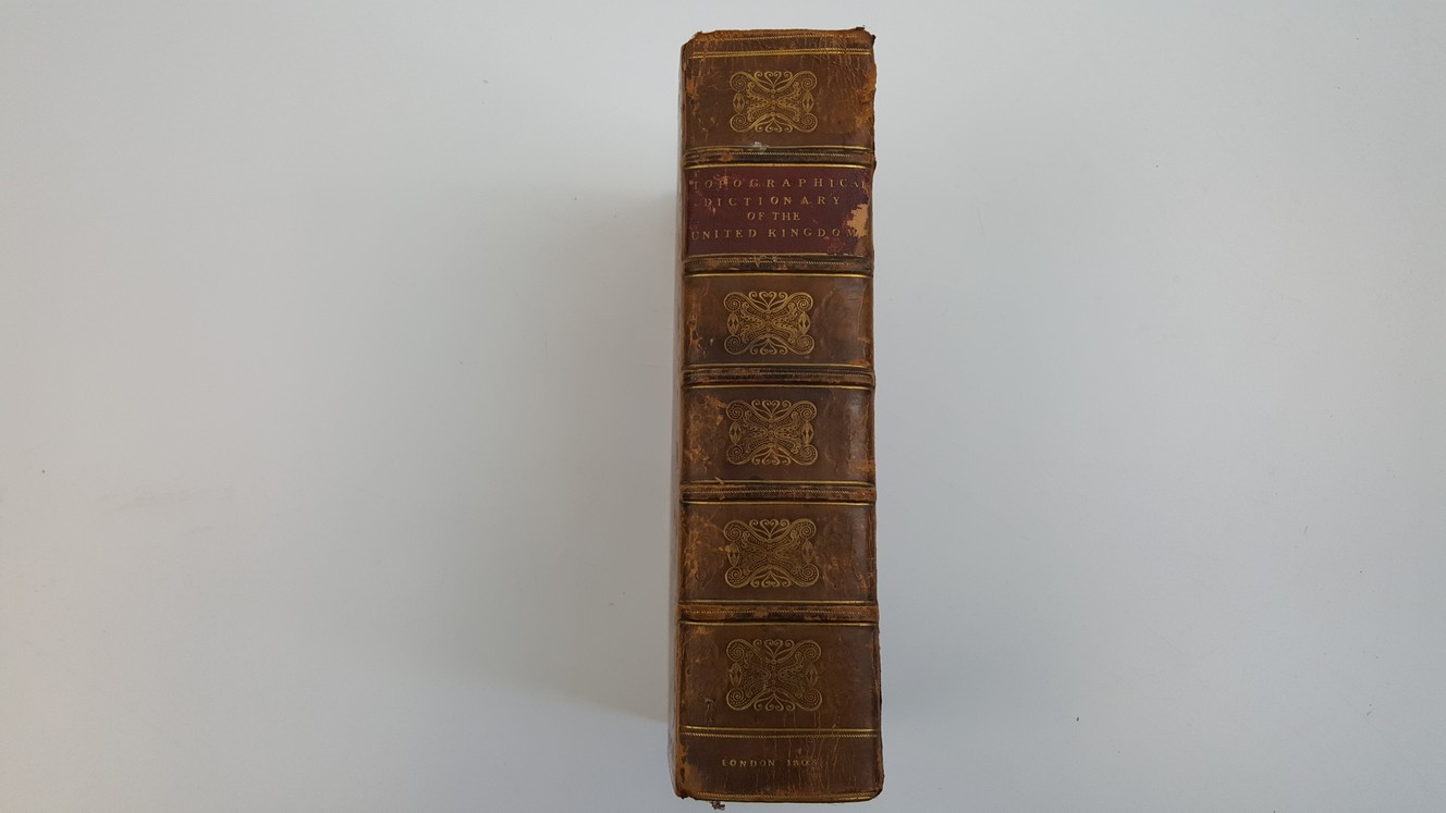
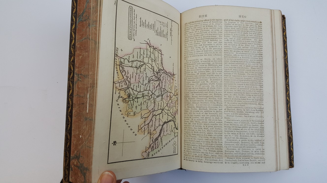
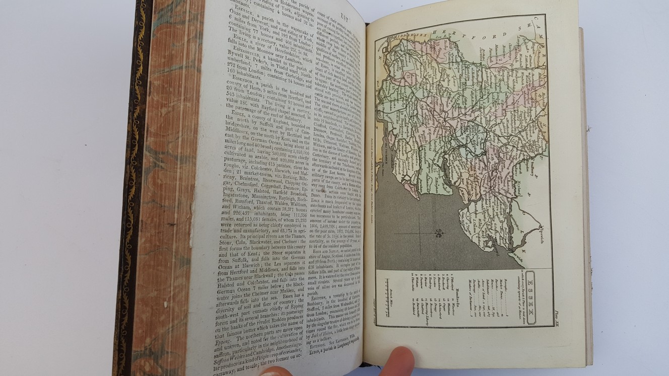
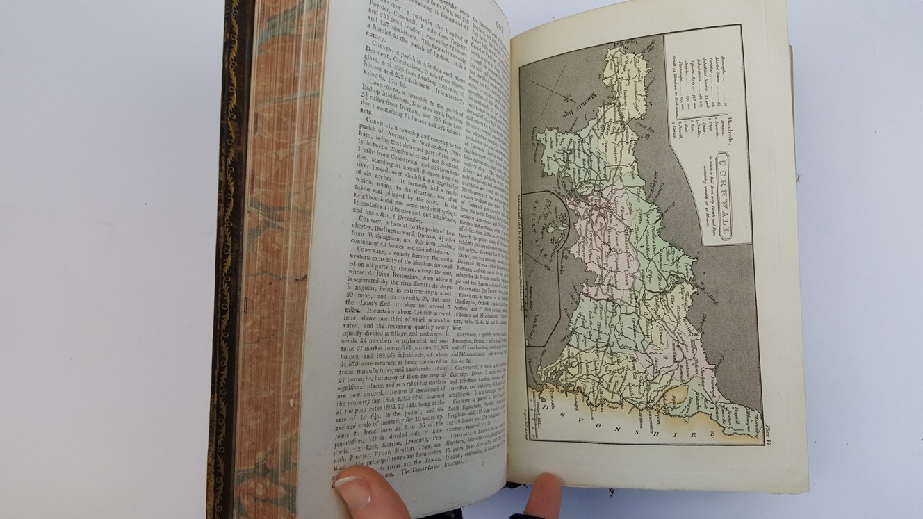
A Topographical Dictionary Of The United Kingdom; Compiled From Parliamentary, And Other Authentic Documents And Authorities; Containing Geographical, Topographical, & Statistical Accounts Of Every District, Object, And Place In England, Wales, Scotland, Ireland, And Various Small Islands Dependant On The British Empire. Accompanied By Forty-Six Maps, drawn purposely for this work, on an original plan
£295.00
Xiv, unpaginated, approx 1092 pages, 46 hand-coloured maps as called for on title page but Wales was printed on 1 map not 2, includes folding map of British Isles as frontispiece, double-column text
1 in stock