| Signed | |
|---|---|
| Author(s) | Collins, Henry George |
| Illustrator(s) | N/A |
| Publisher(s) | Published by Collins |
| Published Date | 1854 |
| Edition | First Edition |
| Signature Information | N/A |
| Size | 16.5 x 10.5 cm (closed) 77 x 83 cm (open) |
| Book Condition | Corners and edges rubbed, map creased and foxed lightly, slight tears in the map at the creases, edges rubbed, cover creased slightly, map repaired on the left hand side, fair condition |
| Jacket Condition | N/A |
| Binding | Paper map with orange paper cover with a black title on the front cover |
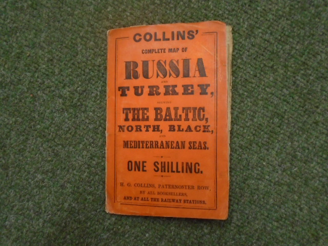
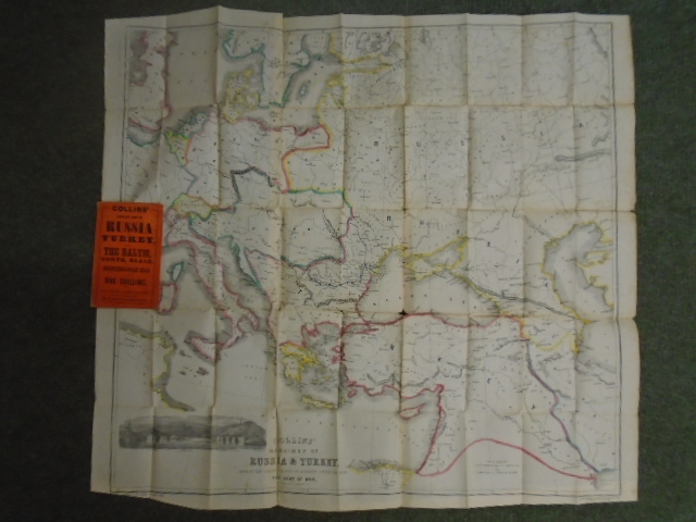
Collins’ Complete Map of Russia and Turkey, shewing the Baltic, North, Black, and Mediterranean Seas.
£175.00
1 inch : 80 miles, hand coloured map with black and white vignette of Sevastapol with detail including various battlefields and sites in connection with the Crimean War of 1853-56, paper map, title on map reads “Collins Hand-Map of Russia and Turkey shewing the various places of interest connected with the Seat of War”
1 in stock