| Signed | |
|---|---|
| Author(s) | Walker, J & C |
| Illustrator(s) | |
| Publisher(s) | Published by George Cox |
| Published Date | no date given [1838-40] |
| Edition | Early Edition |
| Signature Information | |
| Size | 43 x 36 cm |
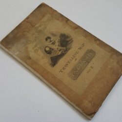
| Book Condition | Light staining, small tears around the edges, map in good condition |
| Jacket Condition | N/A |
| Binding | 0 |
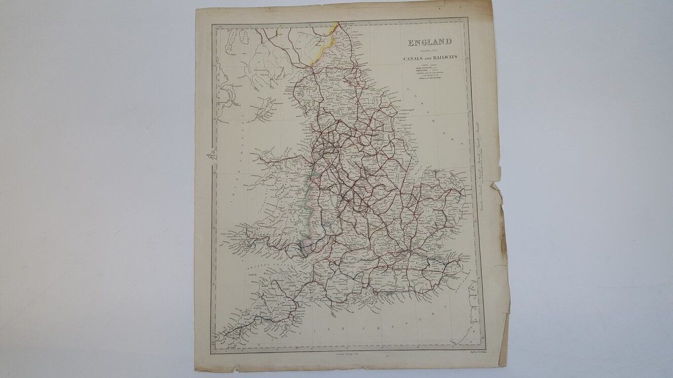
England With the Canals and Railways Map from Maps of the Society for the Diffusion of Useful Knowledge
£35.00
Map measuring 43 x 36 cm, outline coloured in with pink, green, blue, yellow and red, scale of 1 cm to 10 mile, with key of open railways, canals and projected routes
1 in stock