| Signed | |
|---|---|
| Author(s) | Ewing, Thomas |
| Illustrator(s) | N/A |
| Publisher(s) | Published by Oliver & Boyd |
| Published Date | 1845 |
| Edition | First Edition |
| Signature Information | N/A |
| Size | 25 cm x 20 cm |
| Book Condition | Folded across the middle, tanned around edges with pencil mark to one border, very good condition |
| Jacket Condition | N/A |
| Binding | N/A |
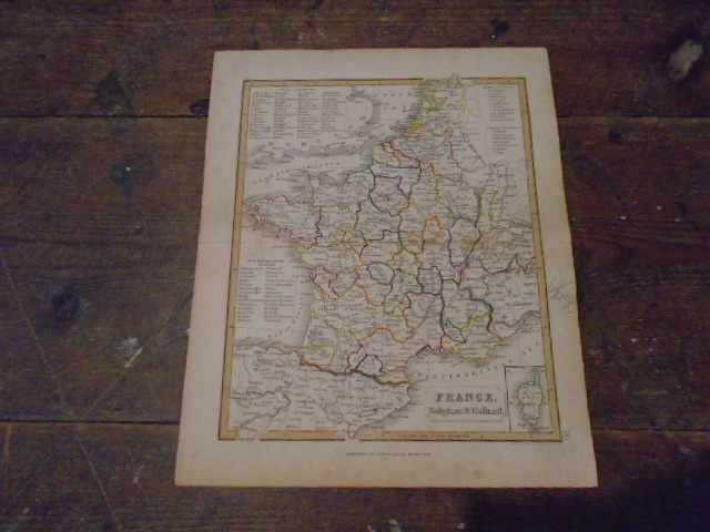
Map of France, Belgium and Holland from Ewing’s New General Atlas
£50.00
Colour outlined map from Ewing’s New General Atlas featuring France, Belgium and Holland, with insert of Corsica, lists of French departments, Holland and Belguim provinces
1 in stock