| Signed | |
|---|---|
| Author(s) | Lizars, W.H. |
| Illustrator(s) | N/A |
| Publisher(s) | Published by W.H. Lizars |
| Published Date | no date given, approximately 1831 |
| Edition | First Edition thus |
| Signature Information | N/A |
| Size | 48 x 56.5 |
| Book Condition | Central fold, , margins rubbed chipped and tanned with a few small tears, map undamaged and otherwise in very good condition |
| Jacket Condition | N/A |
| Binding | N/A |
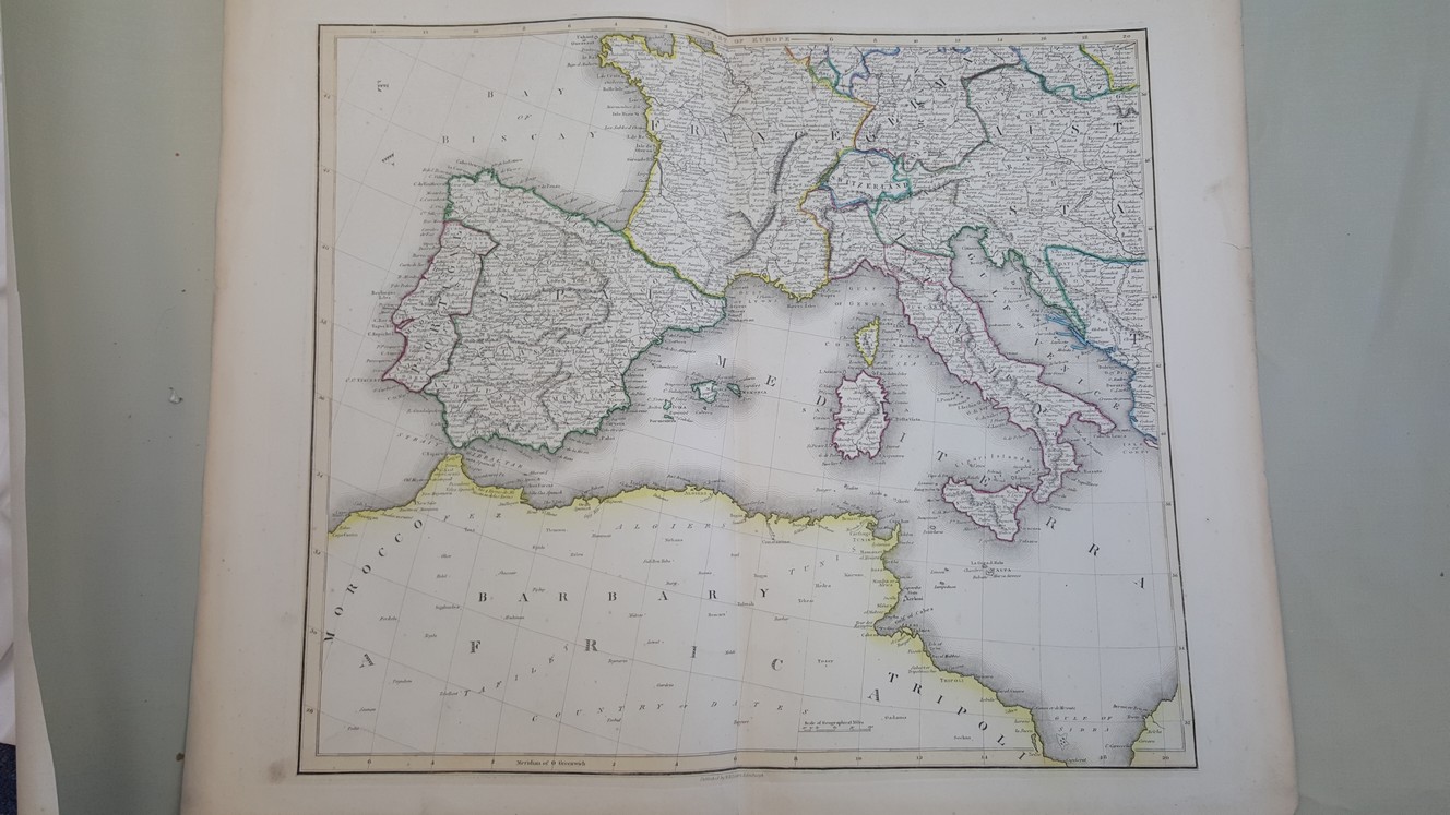
Map of Part of Europe [ Spain, France, Italy, North Africa etc, believed to taken from The Edinburgh Geographical and Historical Atlas ]
£40.00
48 x 56.5 cm engraved map with hand colured political boundaries and borders to map, a double page plate on guard mount , heavy paper, wide margins
1 in stock