

| Signed | |
|---|---|
| Author(s) | Lizars, W.H. |
| Illustrator(s) | N/A |
| Publisher(s) | Published by W.H. Lizars |
| Published Date | no date given, approximately 1831 |
| Edition | First Edition thus |
| Signature Information | N/A |
| Size | 48 x 56.5 |
| Book Condition | Central fold, one inch tear to bottom of fold small tear to top both confined to margin, margins rubbed chipped and tanned with small tears, map undamaged and otherwise in very good condition |
| Jacket Condition | N/A |
| Binding | N/A |
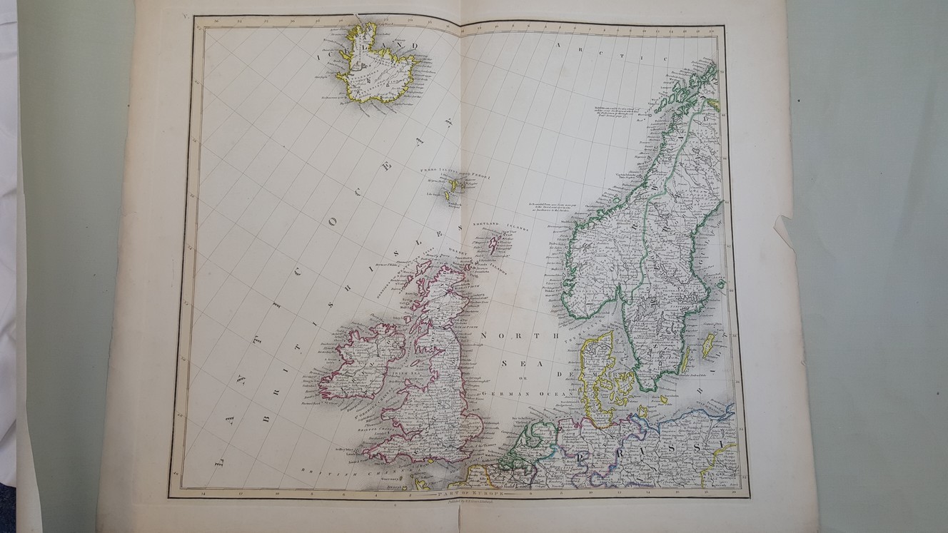
Map of Part of Europe [ U.K., Scandinavia, Prussia etc, believed to taken from The Edinburgh Geographical and Historical Atlas ]
£40.00
48 x 56.5 cm engraved map with hand colured political boundaries and borders to map, a double page plate on guard mount numbered V., heavy paper, wide margins
1 in stock


