

| Signed | |
|---|---|
| Author(s) | Johnston, Keith |
| Illustrator(s) | N/A |
| Publisher(s) | Published by W. & A.K. Johnston |
| Published Date | 1878 |
| Edition | First Edition thus |
| Signature Information | N/A |
| Size | 47.5 x 36.5 cm |
| Book Condition | Central fold with slight tear, paper toned, good condition |
| Jacket Condition | N/A |
| Binding | N/A |
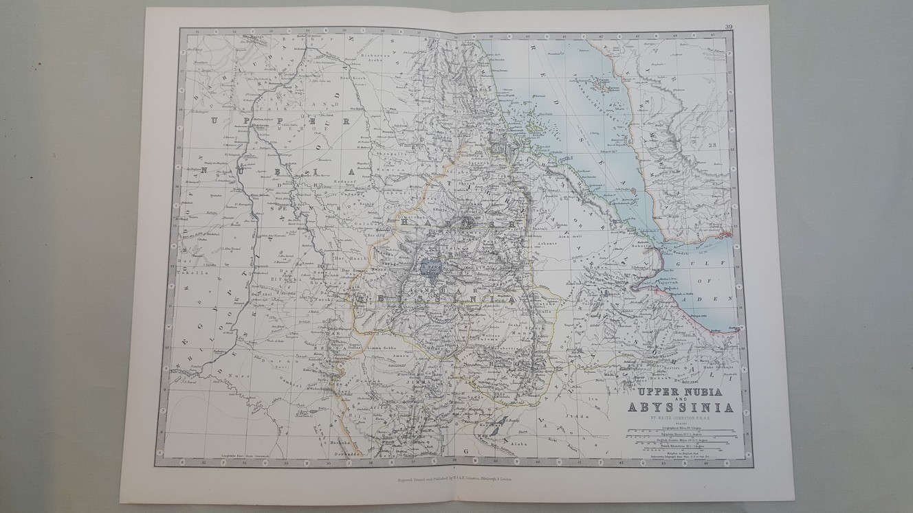
Map of Upper Nubia and Abyssinia [ taken from Johnston’s Handy Royal Atlas ]
£25.00
36.5 x 47.5 cm engraved map with colour, 2 cm margins, a double page plate with guard mount, heavy paper with gilt edge, numbered 39
1 in stock


