| Signed | |
|---|---|
| Author(s) | de Fonvielle, Wilfred |
| Illustrator(s) | N/A |
| Publisher(s) | N/A |
| Published Date | no date given, approximately 1872 |
| Edition | First Edition |
| Signature Information | N/A |
| Size | 50 x 68 cm |
| Book Condition | There are foxing spots across the whole surface but these do not reduce legibility, damp mark to lower edge, no folds or creases, fair condition |
| Jacket Condition | The frame is loosing beading from the inner edges, generally servicable rather than an asset, poor cpndition |
| Binding | N/A |
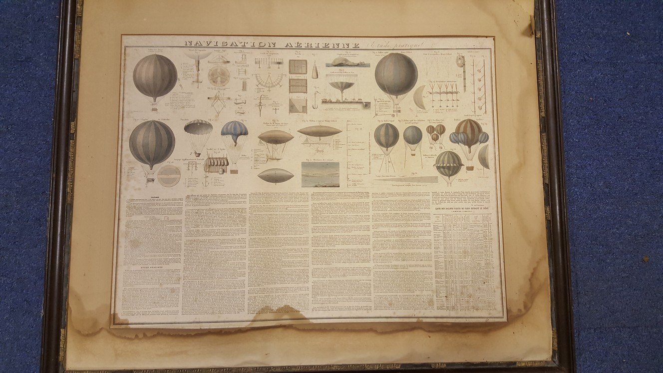
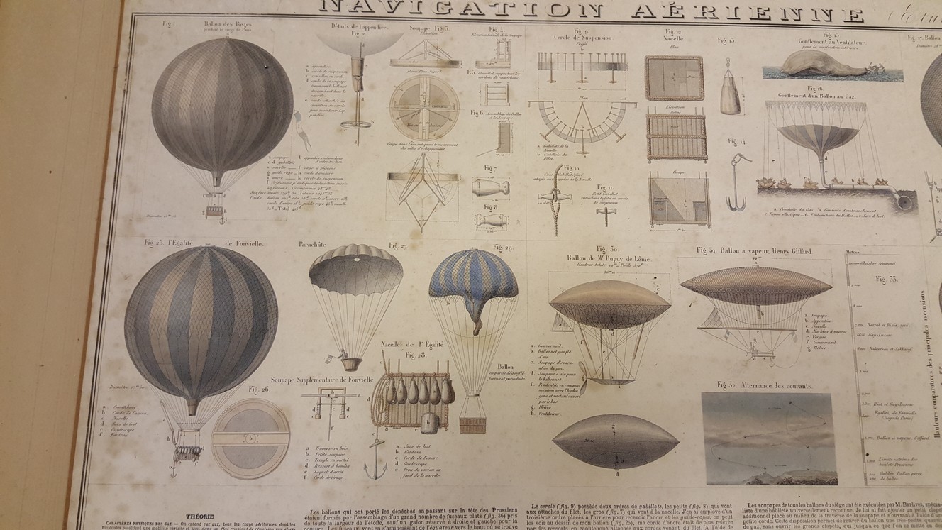
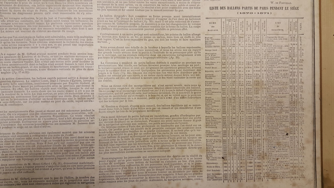
Navigation Aerienne ( Etude Practique ) [ Ballooning a coloured, engraved print ]
£500.00
50 x 68 cm coloured engraving mounted in a 75 x 92 cm wooden frame, the engraving shows 40 figures of balloons and details of equipment, with a table of heights reached. About half of the plate is taken up with explanatory text including a list of Balloon ascents from Paris during the siege of 1870 – 1871, all text French
1 in stock