| Signed | |
|---|---|
| Author(s) | Philips, George |
| Illustrator(s) | N/A |
| Publisher(s) | Published by George Philip and Son |
| Published Date | 1940 |
| Edition | First Edition |
| Signature Information | N/A |
| Size | 19 x 10.5 (closed) 73 x 53.5cm (open) |
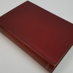
| Book Condition | Corners and edges rubbed, cover rubbed slightly, map nice with one small stain, very good condition |
| Jacket Condition | N/A |
| Binding | Grey cloth over a hard cover with black titles |


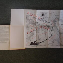
Philips’ Authentic Imperial Maps for Tourists and Travellers: Palestine with Southern Syria and Western Trans-Jordan
£175.00
1;500,000 scale, colour map of Palestine and surrounding regions, inset of “Continuation of Palestine Southwards on half the scale of the general map”, catalogue pasted onto the inside of hard cover and outside of the map
1 in stock