

| Signed | |
|---|---|
| Author(s) | Philip, George |
| Illustrator(s) | N/A |
| Publisher(s) | Published by George Philip and Son, W. Allan, W. Kent & co, John Menzies, W. Robertson |
| Published Date | 1854 |
| Edition | First Edition |
| Signature Information | N/A |
| Size | 16.5 x 11 cm (folded), 52 x 65 cm (open) |
| Book Condition | Some rubbing to edges of card cover, good condition, a few small marks to map, map in very good condition |
| Jacket Condition | N/A |
| Binding | Printed card covers, paper map |
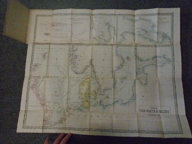
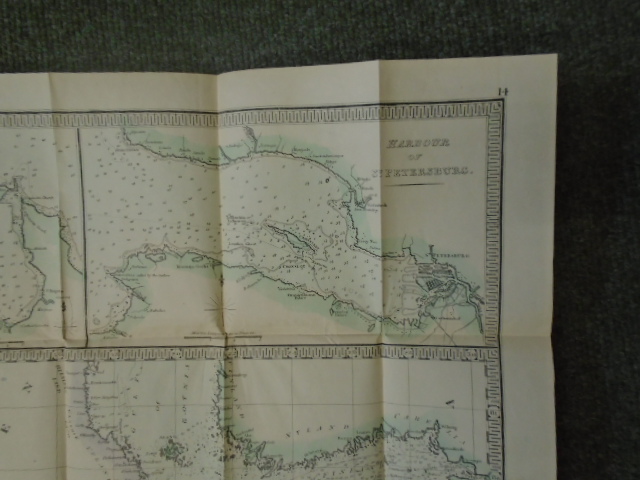
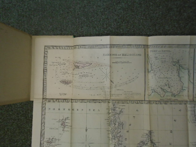
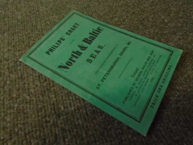
Philips’ Chart of the North & Baltic Seas, with plans of the Harbours od St. Petersburgh, Revel, &c
£300.00
Hand coloured paper map, insets of Port of Revel, Harbour of Heligoland and Harbour of St. Petersburgh
1 in stock


