| Signed | |
|---|---|
| Author(s) | Hughes, William F.R.G.S. |
| Illustrator(s) | N/A |
| Publisher(s) | Published by George Philip and Son |
| Published Date | 1866 |
| Edition | N/A |
| Signature Information | N/A |
| Size | folio 55 x 36cm, maps 55 x 68cm |
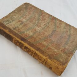
| Book Condition | Without boards and spine, front end pages and last two maps are detached , first three maps are loose, very light shading to edges, map 1 has small water marks, maps 48 and 49 have some chipping, some of the maps have margin notes in pencil or ink, most of the maps are in very good condition, the volume itself is poor |
| Jacket Condition | N/A |
| Binding | No cover but a stiched album binding leaves the maps complete, gilt edges |
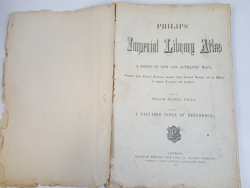
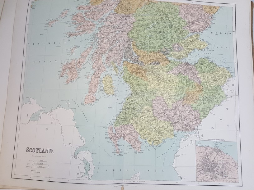
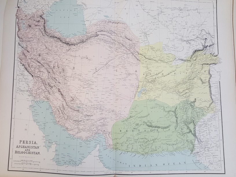
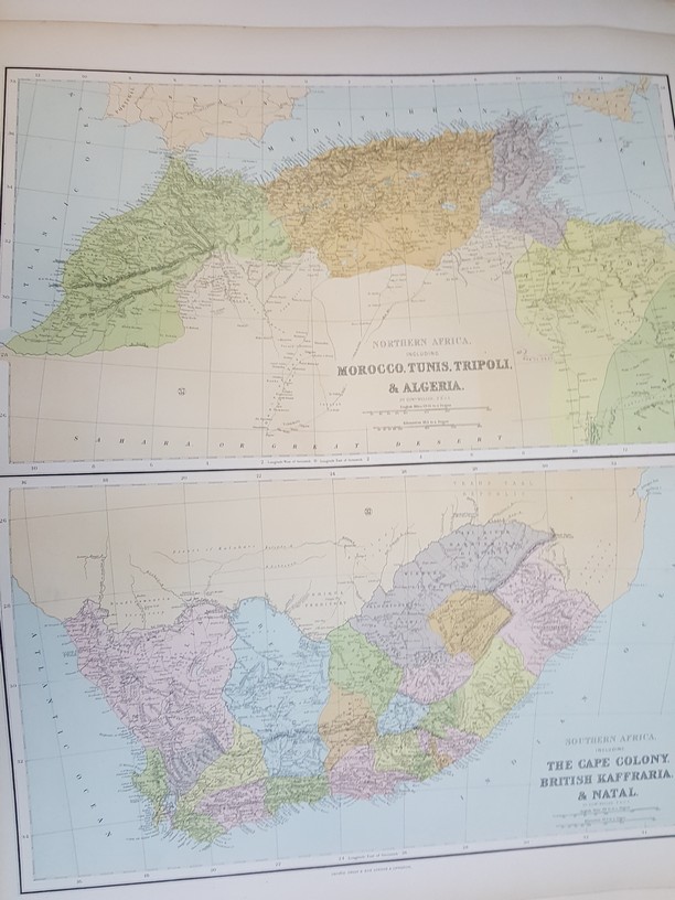
Philips’ Imperial Library Atlas , A series of new and authentic maps, Engraved from Original Drawings, compiled from National Surveys and the Works of eminent Travellers and Explorers
£250.00
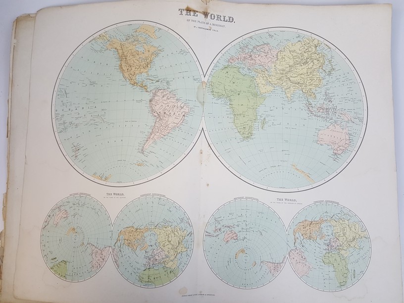
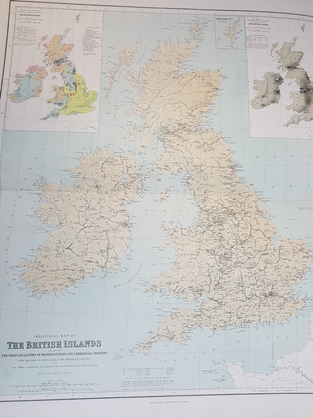
49 double page album bound maps, Title page and Preface, includes 3 for the USA, The United states of North America, The Pacific States and Territories and a Portion of the North-Western States, The Confederate States with the Border States and the adjoining portion of the Federal States, begins with two world maps and ends with Australia, heavy books may incur extra shipping
1 in stock