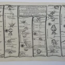
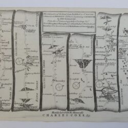
| Signed | |
|---|---|
| Author(s) | Anon |
| Illustrator(s) | N/A |
| Publisher(s) | Published by Vernor, Hood, and Sharpe; Longman, Hurst, Rees, and Orme; J. Harris; J. Cuthell; J. Cundee; W. Faden; J. and A. Arch; Crosby and Co.; J. Richardson; and J.M. Richardson |
| Published Date | 1810 |
| Edition | First Edition |
| Signature Information | N/A |
| Size | 29 x 23.5cm |
| Book Condition | Rebacked with later spine and original boards, repaired corners, the boards are rubbed and scuffed, chipped edges and bumped corners, gilt is worn, later end papers but original blanks, some shading to the leaf edges the last plan is the darkest with a small tear to the tail edge, the engravings are delightful, bright and in lovely condition, the book is in very good condition |
| Jacket Condition | N/A |
| Binding | Half bound in calf and marbled paper covered boards, gilt ruled to the front and back, gilt titles to the spine |
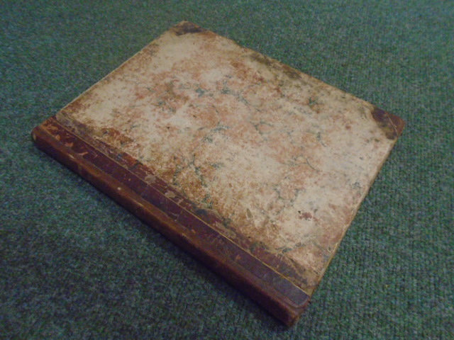


The British Atlas; comprising a Complete Set of County Maps, of England and Wales; with a General Map of Navigable Rivers and Canals; and Plans of Cities and Principal Towns
£1,100.00
[4] pages 58 hand coloured maps and 21 plans, engraved by J. Roper from drawings by G. Cole, maps and plans individually dated 1804-1810,
1 in stock