| Signed | |
|---|---|
| Author(s) | Streit, F.W. & Arno |
| Illustrator(s) | engraved by H. Leutemann |
| Publisher(s) | Published by J.C. Hinrichs'sche Buchhandlung |
| Published Date | 1840 |
| Edition | First Edition thus |
| Signature Information | N/A |
| Size | 39 x 47.5 cm |
| Book Condition | A few brown spots near bottom edges, otherwise map in very good condition |
| Jacket Condition | N/A |
| Binding | N/A |
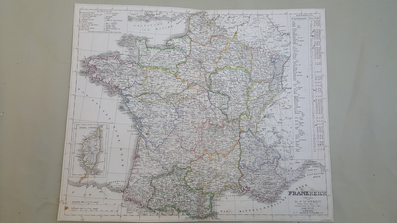
Map of Frankreich
£30.00
39 x 47.5 cm engraved map with hand coloured political boundaries, Inset map of Corsica, double page plate on guard mount with margins cropped, text in German
1 in stock