

| Signed | |
|---|---|
| Author(s) | Thomson, John |
| Illustrator(s) | engraved by J. & G. Menzies |
| Publisher(s) | Published by Thomson & Co. |
| Published Date | 1816 |
| Edition | First Edition thus |
| Signature Information | N/A |
| Size | 53 x 71 cm |
| Book Condition | Central fold, bottom third of fold has started to split and this may have caused some slight loss, a few brown spots and small chips to top edge, ink number to top margin, good + condition |
| Jacket Condition | N/A |
| Binding | N/A |
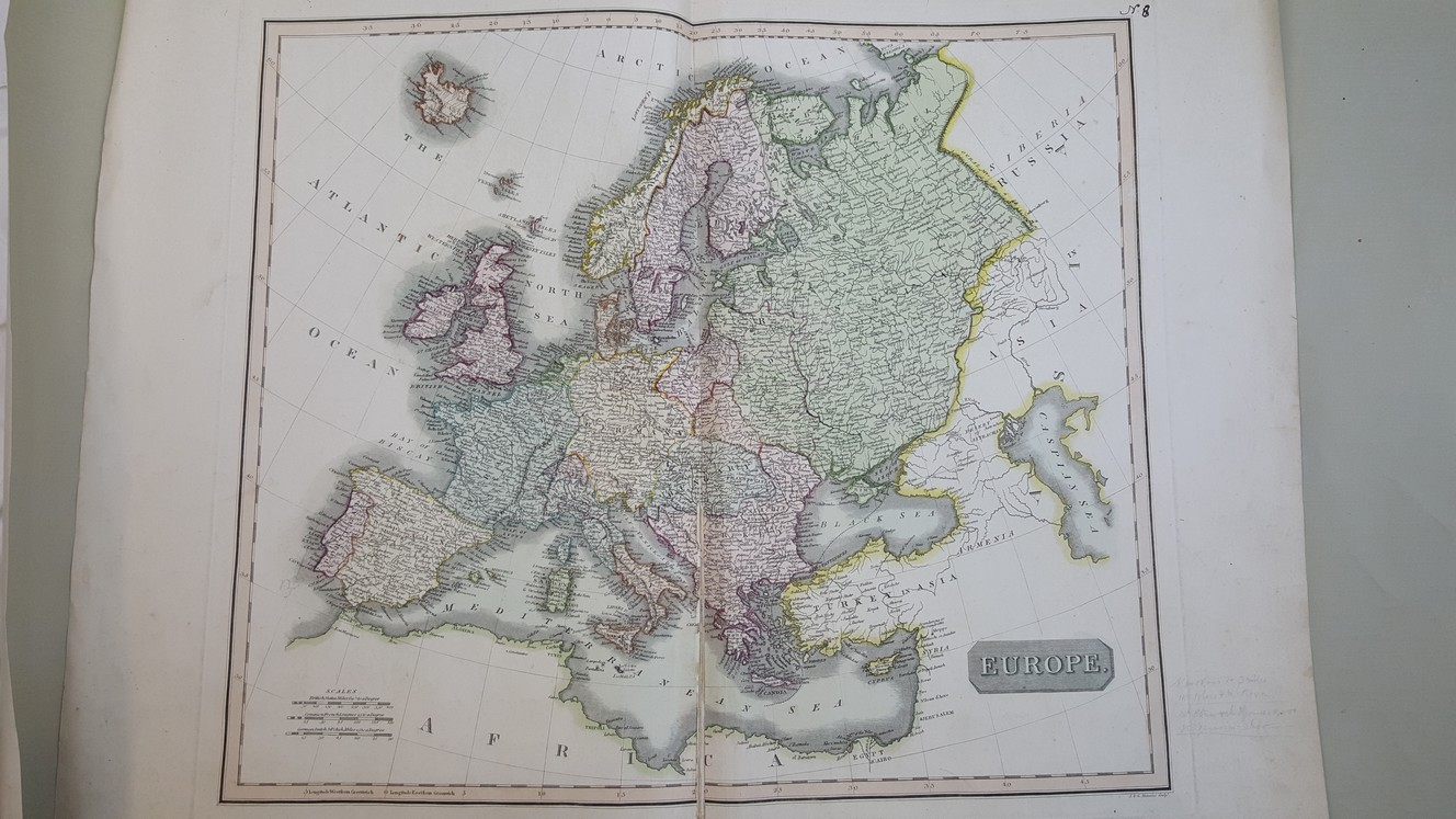
Map of Europe [ believed to be from Thomson’s New General Atlas ]
£120.00
53 x 71 cm engraved map with hand colour, engraved area 46 x 53 cm, double page plate on guard mount, heavy paper
1 in stock


