

| Signed | |
|---|---|
| Author(s) | Von Stulpnagel, A. |
| Illustrator(s) | N/A |
| Publisher(s) | Published by Justus Perthes |
| Published Date | 1855 |
| Edition | First Edition thus |
| Signature Information | N/A |
| Size | 36.5 x 45 cm |
| Book Condition | Central fold, margins a little tanned, faint shadowing of text from one side of plate to the other confined to sea areas, map in very good condition |
| Jacket Condition | N/A |
| Binding | N/A |
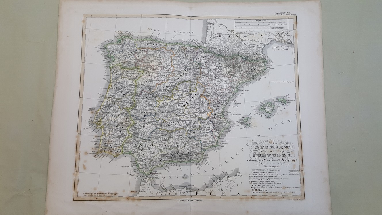
Map – Spanien und Portugal in IV Blattern. Mit Benutzung von Berhaus Karte von 1829 [ map of North West Spain and Portugal taken from Stieler’s Hand Atlas ]
£20.00
Double page guard mounted plate, 36.5 x 45 cm, engraved hand coloured map, printed on heavy paper numbered Stieler’s Hand Atlas (no.13b), German text
1 in stock


