

| Signed | |
|---|---|
| Author(s) | Ellis, John |
| Illustrator(s) | N/A |
| Publisher(s) | Printed for Carington Bowles |
| Published Date | no date given, c1766 |
| Edition | First Edition |
| Signature Information | N/A |
| Size | 21.5 x 27 cms |
| Book Condition | Slightly crude colouring, very slight discoloration of edges, very good condition |
| Jacket Condition | N/A |
| Binding | Paper, |
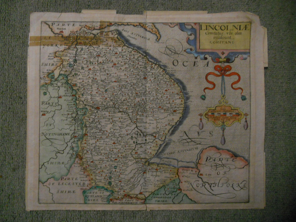
A Modern Map of Somerset Shire (Drawn from the Latest Surveys)
Hand-coloured map with black titles, Remarks (including symbols for Cities, Borough Towns, Market Towns, Rectories and Vicarages, Fairs; hill ranges, passages, moorland, forest), double hatched border of Longitude from London, British Statue Miles to 12, ornate compass point, engraving to upper left corner,


