

| Signed | |
|---|---|
| Author(s) | Philip, George |
| Illustrator(s) | N/A |
| Publisher(s) | Published by George Philip and Son |
| Published Date | 1854 |
| Edition | First Edition |
| Signature Information | N/A |
| Size | 17 x 11cm (folded), 56 x 65 cm (open) |
| Book Condition | Edges of card covers slightly worn with small tear to one corner, map in near fine condition |
| Jacket Condition | N/A |
| Binding | Card covered fold out paper map |
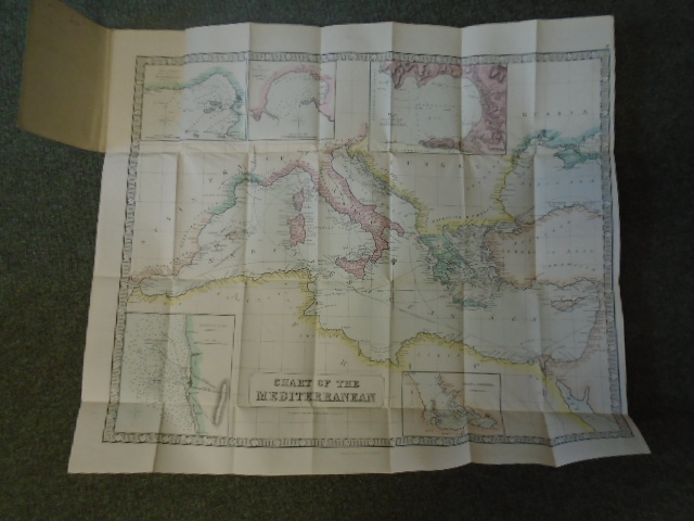
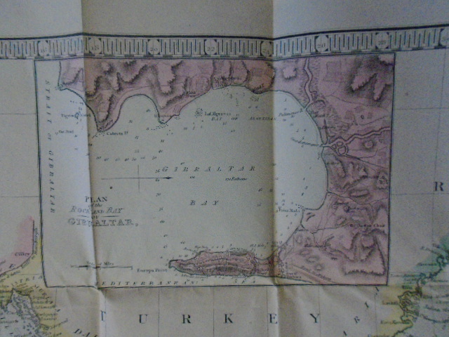
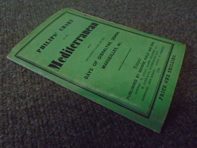
Philips’ Chart of the Mediterranean with detailed plans of Gibraltar, Genoa, Marseilles, &c
£150.00
Partly coloured paper map of Mediterranean region showing Steamer routes and larger scale insets of Genoa, Marseilles, Gibraltar, Leghorn Road and the Gulf of Smyrna
1 in stock


