

| Signed | |
|---|---|
| Author(s) | Weiland, C.F. |
| Illustrator(s) | N/A |
| Publisher(s) | Published by Geograph Instituts |
| Published Date | 1839 |
| Edition | First Edition |
| Signature Information | N/A |
| Size | 16.5 x 11 cm (folded), 48 x 86 cm (open) |
| Book Condition | Tear to one area of map affecting the last letter of "Ost See", foxing to map and backing, small holes at some folds in the linen, handwritten title to rear, good condition |
| Jacket Condition | N/A |
| Binding | Linen backed map |
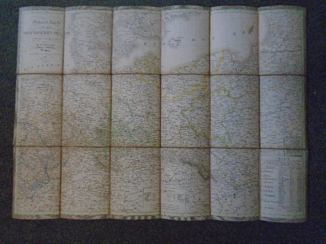
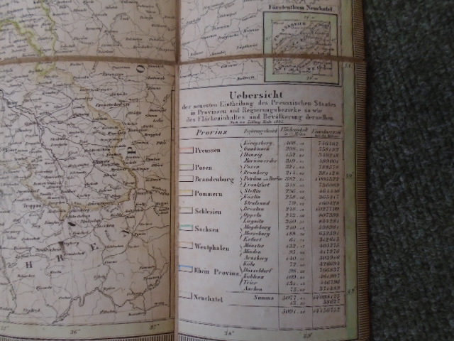
General Karte von dem Preussischen Staate entworfen und gezeichnet [Map of Prussia]
£100.00
Linen backed partially handcoloured map of Prussia, in German
1 in stock


