| Signed | |
|---|---|
| Author(s) | Brookes, R. |
| Illustrator(s) | N/A |
| Publisher(s) | Printed for J. Bumpus, WM. Allason, J. Blacklock etc. |
| Published Date | 1820 |
| Edition | Fifteenth Edition |
| Signature Information | N/A |
| Size | octavo, 21.5 x 14 cm |
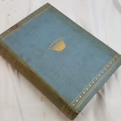
| Book Condition | Bookplate and library stamps, corners and edges rubbed, joints repaired, covers marked slightly, foxing within, small tear to edge of frontispiece map, good condition |
| Jacket Condition | N/A |
| Binding | Half calf with orange, red and blue marble paper over the covers, 5 raised bands and a gilt title on morocco label on the spine, coloured endpapers, red speckled edges |

A General Gazetteer; or, Compendious Geographical Dictionary. Containing a Description of the Nations, Empires, Kingdoms, States, Provinces, Cities, Towns, Forts, Seas, Harbours, Rivers, Lakes, Canals, Mountains, Capes, &c. in the Known World: With the Extent, Boundaries and Natural Productions of each County; the Government, Customs, Manners, and Religion of the Inhabitants; the Trade, Manufactures and Curiosities, of the Cities and Towns, with their Longitude and Latitude, Bearing and Distance in English Miles, from remarkable Places; and the Various Historical Events, by which they have been distinguished. Illustrated with Maps.
£200.00
Xvi 1-770 pages, contains 8 black and white folding maps
1 in stock