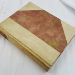
| Signed | |
|---|---|
| Author(s) | Bremer, Karl Rud. (editor) |
| Illustrator(s) | N/A |
| Publisher(s) | Published by Karl Rud. Bremer & Co. |
| Published Date | [c. early 1900's] |
| Edition | First Edition |
| Signature Information | N/A |
| Size | 25cm x 11.5cm |
| Book Condition | The cover has a large (11cm) tear at the head of the spine and a smaller (7cm) tear at the foot of the spine, spine is faded, corners are torn with pieces missing from the upper head and lower foot corners, internally the map is clean, clear and in very good condition |
| Jacket Condition | N/A |
| Binding | Green paper wrapper with black design and lettering to upper cover |
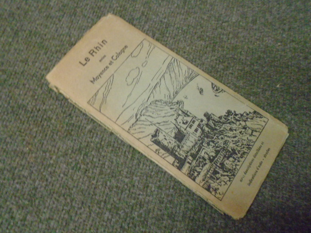
Le Rhin entre Mayence et Cologne. (Map with annotations in French)
£30.00
Full colour concertina illustrated map of the Rhine with illustrations and information of locations along the route in French
1 in stock