| Signed | |
|---|---|
| Author(s) | Stanford, Edward |
| Illustrator(s) | N/A |
| Publisher(s) | Published by Edward Stanford |
| Published Date | c1913 |
| Edition | Later edition |
| Signature Information | N/A |
| Size | 67 x 54 cm (open), 17 x12 cm (folded) |
| Book Condition | Corners and spine lightly rubbed, annotations to map in ink and pencil, good condition |
| Jacket Condition | N/A |
| Binding | Linen backed map in cloth covered case with paper title label to front |

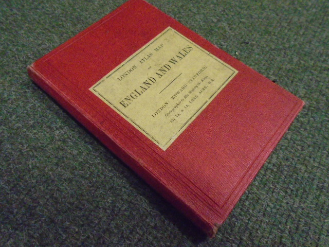
London Atlas Map of England and Wales
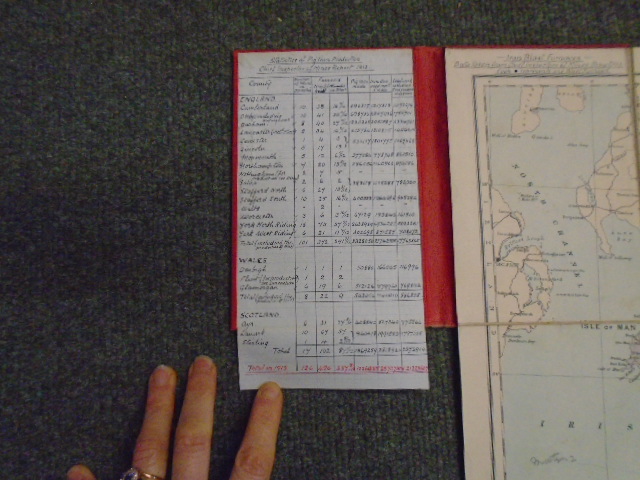
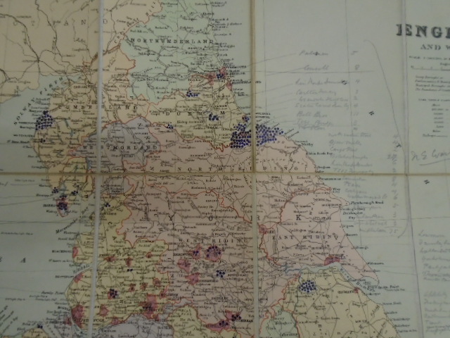
Linen backed dissected coloured folding map in hard case with manuscript pig iron production statistics for 1913 tipped to front pastedown compiled by the Chief Inspector of Mines, map is annotated with the locations of the blast furnaces, 16 miles to an inch