

| Signed | |
|---|---|
| Author(s) | Ordnance Survey |
| Illustrator(s) | N/A |
| Publisher(s) | Published by Henry James, Ordnance Survey and Edward Stanford |
| Published Date | 1865 |
| Edition | First Edition |
| Signature Information | N/A |
| Size | 67 x 102 cm (open), 23 x 13 cm (folded) |
| Book Condition | A few marks to the map, very good condition |
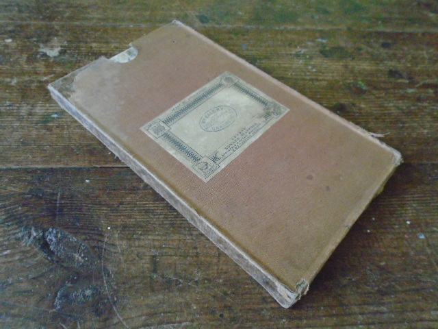
| Jacket Condition | Slipcase rubbed with cloth missing in places, fair condition |
| Binding | Linen backed map in cloth covered slipcase |
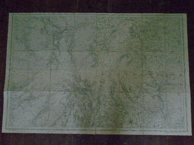
Mile to an inch Map of Lake District/ Westmorland No. CIL S.W. [54 ° 19 ‘ N 2 ° 29 ‘W to 54 ° 39 ‘ N 3 ° 22 ‘ W]
£75.00
Black and white linen backed map including Windermere, Ambleside, Keswick and Kendal, scale of one inch to one mile
1 in stock


