| Signed | |
|---|---|
| Author(s) | Betts, John |
| Illustrator(s) | N/A |
| Publisher(s) | Published by John Betts |
| Published Date | 1838 |
| Edition | First Edition |
| Signature Information | N/A |
| Size | 92 x 78 cm (open), 20 x 17 cm (folded) |
| Book Condition | Rubbing to corners, annotations showing astronomical and meterological points, light foxing, map in good condition |
| Jacket Condition | Slipcase rubbed at corners with slight fading, fair condition |
| Binding | N/A |
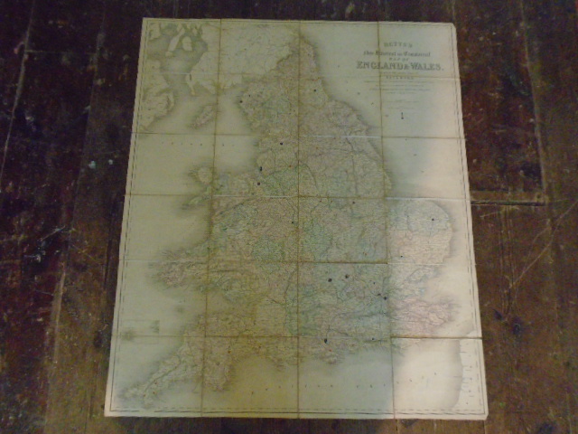
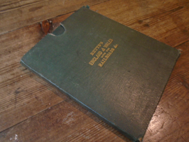
Betts’s New Itinerant and Commercial Map of England and Wales on which the various lines of Railroad, the Turnpike & Principal Cross Roads, with the Courses of the Rivers and Canals are Carefully Laid Down, and the Situations of the Cities, Market Towns and Principal Villages, accurately & Clearly described.
£150.00
Outline hand coloured linen backed map, 10 miles to an inch
1 in stock