

| Signed | |
|---|---|
| Author(s) | Smith, J. |
| Illustrator(s) | |
| Publisher(s) | Printed at St. John's Gate, for D. Henry |
| Published Date | 1777 |
| Edition | First Edition |
| Signature Information | N/A |
| Size | 21 cm x 33 cm |
| Book Condition | Folds in 3 places, some marking to surface, good condition |
| Jacket Condition | N/A |
| Binding | 0 |
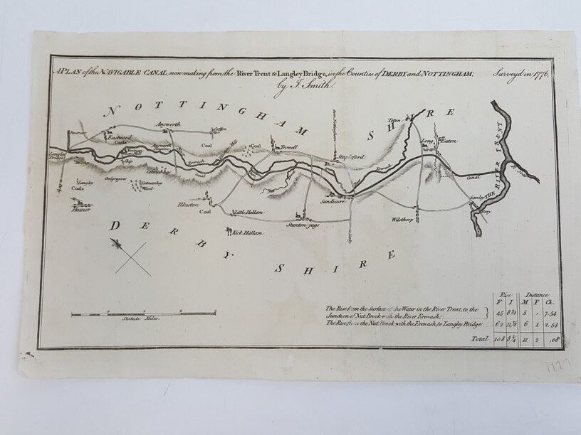
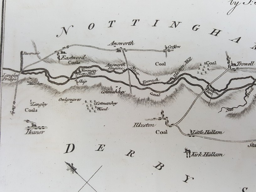
A Plan of the Navigable Canal now making from the River Trent to Langley Bridge in the Counties of Derby and Nottingham. Surveyed in 1776
£30.00
Black and white map from ‘The Gentleman’s Magazine: and Historical Chronicle’ featuring the route of the canal between the river Trent and Langley Bridge. Specifications for the canal locks can be found in the bottom right corner of the map
1 in stock


