

| Signed | |
|---|---|
| Author(s) | Ordnance Survey |
| Illustrator(s) | N/A |
| Publisher(s) | Published by Ordnance Survey Office |
| Published Date | 1904-1939 |
| Edition | Early editions |
| Signature Information | N/A |
| Size | 19 cm x 11 cm (folded) |
| Book Condition | Covers and edges rubbed, some marks to maps, one cockled, one with tears and tape to joints, fair condition |
| Jacket Condition | N/A |
| Binding | Linen backed maps with paper covers |
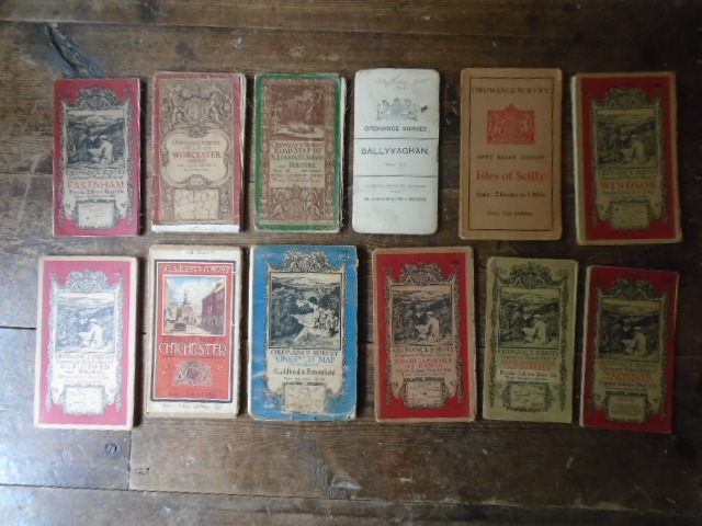
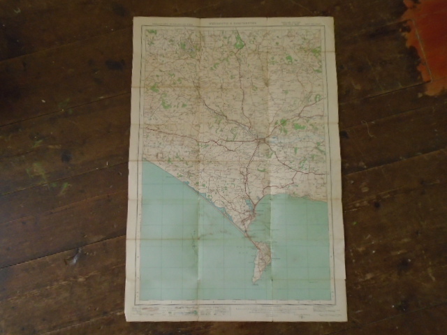
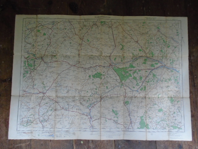
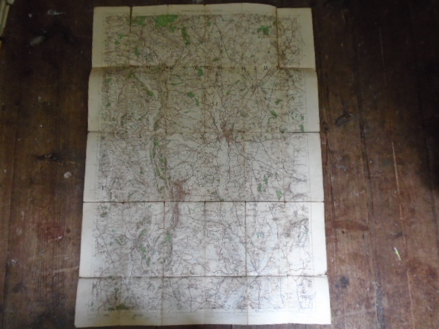
12 Ordnance Survey Maps
£50.00
Ordnance Survey Contoured Road Maps Popular Edition one inch to one mile of: Kirkby Lonsdal and Hawes (1933); Marlborough and Devizes (1919); Windsor (1931); Guildford and Horsham (1931); Fakenham (1921); Weymouth (1919). Ordnance Survey “One Inch” Map fifth edition Guildford and Petersfield, 1939; Tourist Map Chichester, 1 inch to 1 mile 1930; Map of Worcester District Coloured edition 1 inch to 1 mile (1912); Road Map of N. London, St.Albans and Hertford, 1/2 inch to a mile (1914); Ordnance Survey Ballyvaghan 1 inch to1 mile (1904); Ordnance Survey fifth relief edition Isles of Scilly 2 inches to 1 mile, 1933
1 in stock


