

| Signed | |
|---|---|
| Author(s) | Kitchin, Thomas |
| Illustrator(s) | N/A |
| Publisher(s) | published by Laurie and Whittle |
| Published Date | 1794 |
| Edition | First Edition thus |
| Signature Information | N/A |
| Size | 63 x 53.5 cm |
| Book Condition | Paper toned, slight wear to folds in linen, map in very good condition, card slipcase, rubbed around edges with slight loss of paper to corners, covers a little yellowed |
| Jacket Condition | N/A |
| Binding | Marbled paper ends to folded map, card slipcase covered with marbled paper, title label to front |
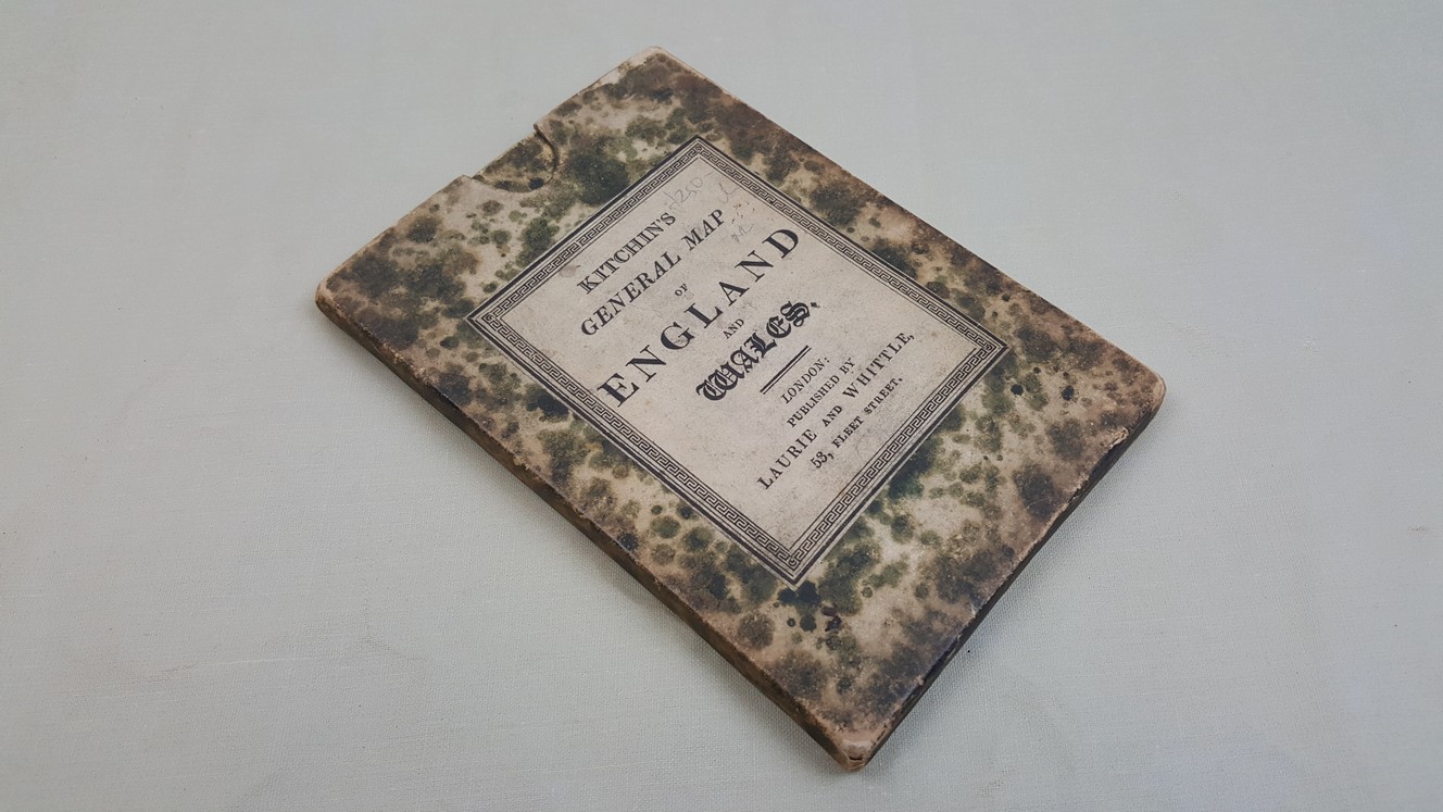
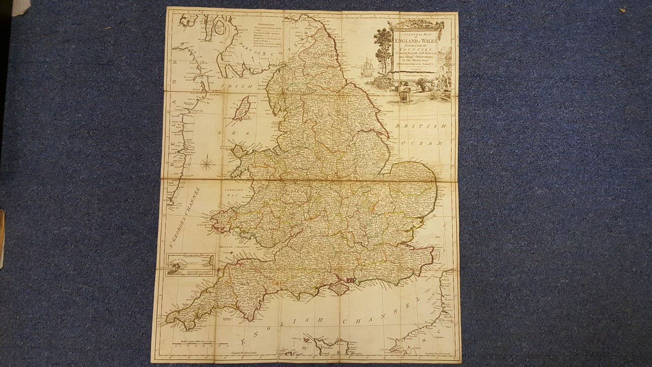
A General Map of England & Wales Divided into its Counties corrected from the best surveys and Astron. Observations by Tho. Kitchin Geogr. Hydrographer to His Majesty
£250.00
Folding, linen backed, engraved map with outline hand colour, 63 x 53.5 cm, illustrated cartouche, folds to 16 x 11 cm to fit in original card case
1 in stock


