| Signed | |
|---|---|
| Author(s) | Campbell, Lieutenant |
| Illustrator(s) | N/A |
| Publisher(s) | Published by Laurie & Whittle |
| Published Date | 1794 |
| Edition | First Edition |
| Signature Information | N/A |
| Size | 26 x 14.5 cm |
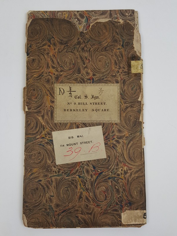
| Book Condition | Map has a few light spots, but overall clean and complete, map in very good condition, case chipped and torn around edges, case in just good condition |
| Jacket Condition | N/A |
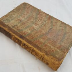
| Binding | Original marbled card case with owner's labels |
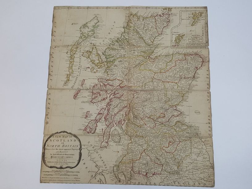
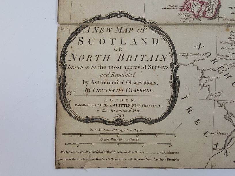
A New Map of Scotland or North Britain Drawn from the most Approved Surveys and Regulated by Astronomical Observations
£600.00
Folding map of Scotland, hand coloured in outline, with an inset of the islands of Orkney and Shetland, scale of 69 1/2 British miles to a degree or 50 Scotch miles to a degree, mesauring 56 x 50 cm, backed onto cloth, marbled paper on reverse of two parts of map
1 in stock