| Signed | |
|---|---|
| Author(s) | Selves, Henri |
| Illustrator(s) | N/A |
| Publisher(s) | Published by Henri Selves, University of Paris |
| Published Date | 1828 |
| Edition | First Edition |
| Signature Information | N/A |
| Size | 51.5 cm x 38.5 cm |
| Book Condition | Some wear and small tears to corners, fold to middle, very good condition |
| Jacket Condition | N/A |
| Binding | Paper map |
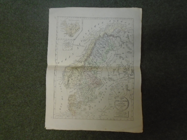
Carte de la Suede de la Norwege et du Danemark dressee pour l’usage des colleges
£75.00
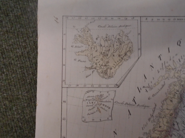
Disbound map from Atlas Geographique published by Henri Selves at the University of Paris in 1829, this coloured map is of Sweden, Norway and Denmark and dated 1828, inset maps of Iceland and The Faroe Islands
1 in stock