

| Signed | |
|---|---|
| Author(s) | Selves, Henri |
| Illustrator(s) | N/A |
| Publisher(s) | Published by Henri Selves, University of Paris |
| Published Date | 1828 |
| Edition | First Edition |
| Signature Information | N/A |
| Size | 51.5 cm x 38.5 cm |
| Book Condition | Some creasing and wear to corners, fold to middle, very good condition |
| Jacket Condition | N/A |
| Binding | Paper map |
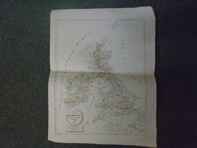
Carte des Isles Britanniques dressee pour l’usage des colleges
£75.00
Disbound map from Atlas Geographique published by Henri Selves at the University of Paris in 1829, this coloured map is of the British Isles and dated 1828,
1 in stock


