

| Signed | |
|---|---|
| Author(s) | Anon |
| Illustrator(s) | N/A |
| Publisher(s) | Published by G. and J.Cary |
| Published Date | 1828 |
| Edition | Early edition |
| Signature Information | N/A |
| Size | 66 x 84 cm (open), 21 x 14 cm (folded) |
| Book Condition | Small tears to two folds, heavily tanned, rubbing to edges and folds, folds reinforced with tape, fair condition |
| Jacket Condition | N/A |
| Binding | Linen backed map |
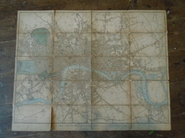
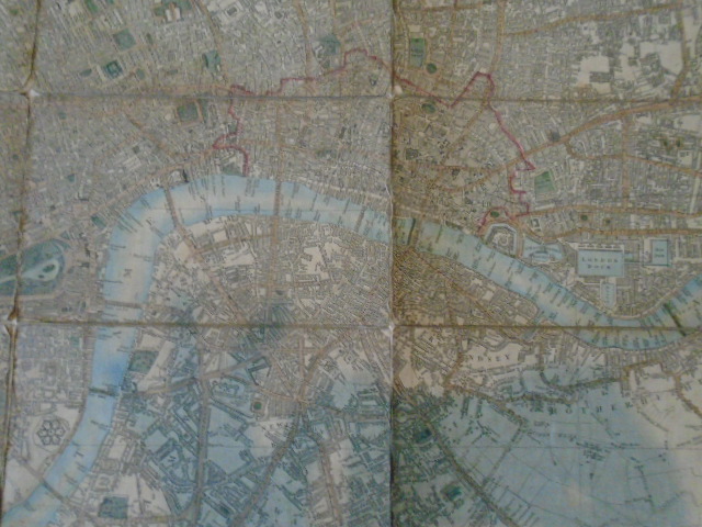
Cary’s New Plan of London and its Vicinity. 1828 (four inches to a mile)
£300.00
Hand coloured linen backed map, four inches to a mile, covering London from East India Docks to Hyde Park and Camberwell to Kentish Town
1 in stock


