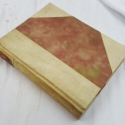
| Signed | |
|---|---|
| Author(s) | Dawson, Robert K. [maps] |
| Illustrator(s) | N/A |
| Publisher(s) | N/A |
| Published Date | [1832] |
| Edition | First Edition thus |
| Signature Information | N/A |
| Size | 36 x 22 cm |
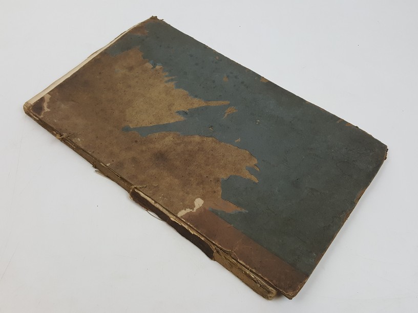
| Book Condition | Lacking rear board, front board loosely attached, spine chipped and with most lacking, some paper missing from front board, previous owner's inscription on inside of front board, light spots to some map but mostly clean, final map lightly soiled at edges, maps in good condition in a worn binding |
| Jacket Condition | N/A |
| Binding | Paper covered boards |
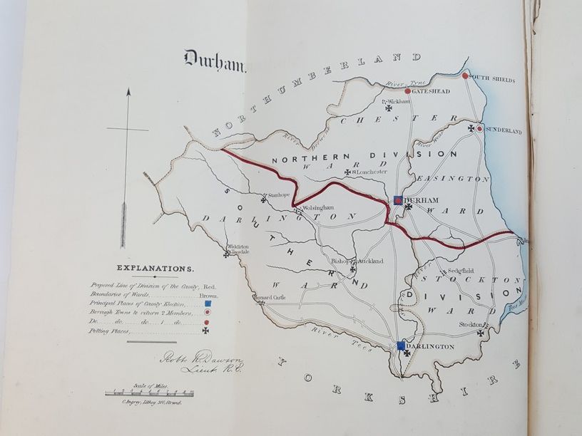
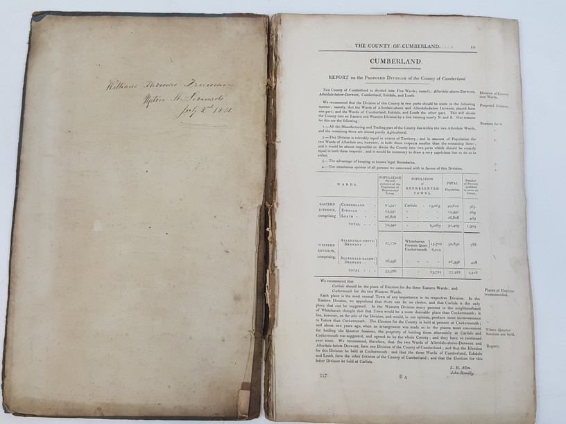
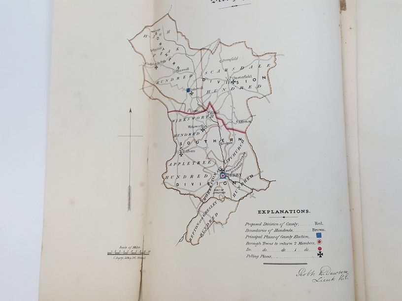
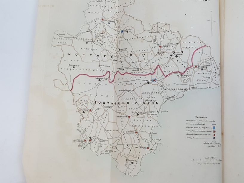
Collection of 18 English County Maps Plus Reports for Cumberland, Lancashire, Leicestershire, Norfolk, Northamptonshire, Northumberland, Nottinghamshire, Shropshire, Somersetshire, Staffordshire, & Suffolk
£150.00
Collection of 18 hand coloured folding maps, including Derbyshire, Devonshire, Durham, Essex, Hampshire, Kent, Lancashire, Leicestershire, Norfolk, Northamptonshire, Northumberland, Nottinghamshire, Shropshire, Somersetshire, Staffordshire, Suffolk, Surrey & Sussex, each are by Robert K. Dawson (1798–1861) – an English surveyor and cartographer. Plus reports from some of the counties, reports signed L. B. Allen, or J. G. S. Lefevre
1 in stock